Itera Lite 2026 – Devon
Pre-Race
There was some uncertainty about me finding a teammate to do this event, but to my good fortune Dave (who I raced with last year) decided the Spine would be no fun after all and hence was up for Itera. Excellent news for me!
It was quite an epic journey to get to the start in Devon. I travelled down via his house south of London, where we did all our kit sorting and packing whilst I complained about how hot it was. Good job we did, as the journey west took 2h longer than planned and we barely made it in time for registration and dinner.
Kayak along the coast 28.9km / 3h30m + TA 22m
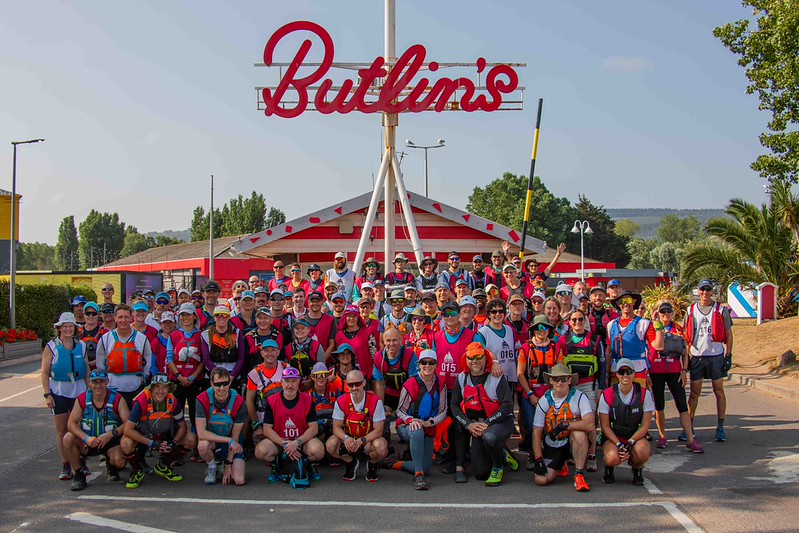
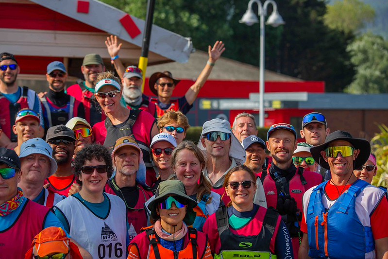
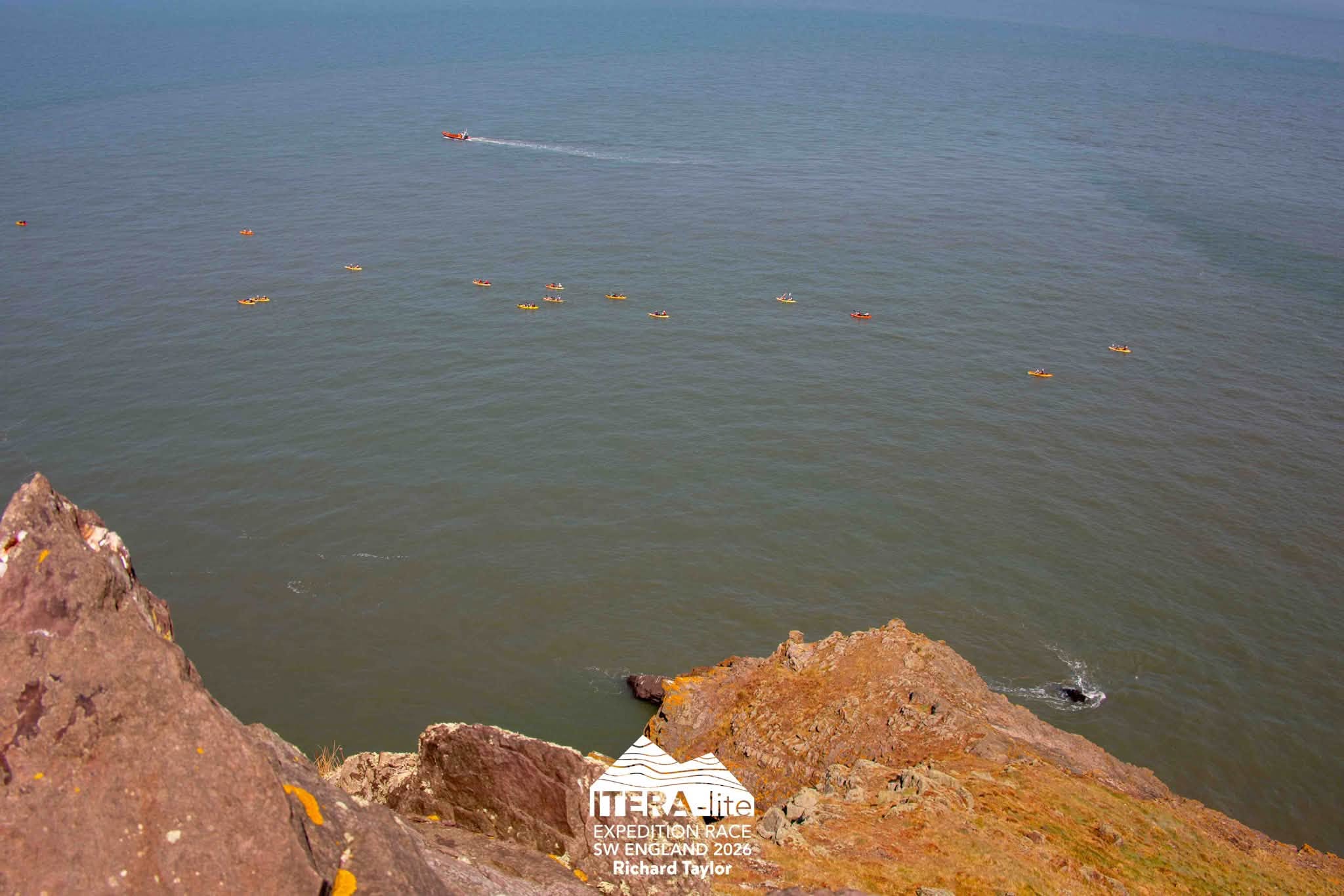
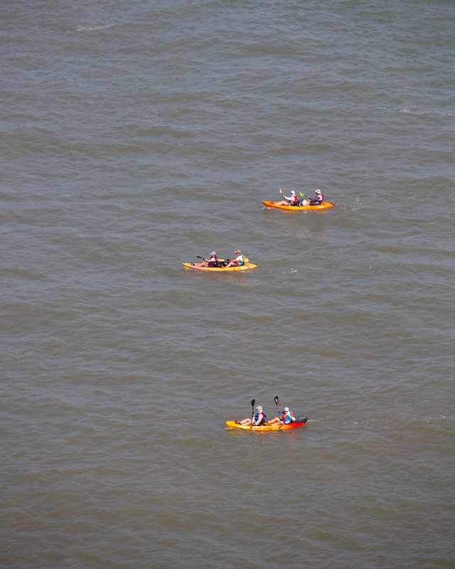
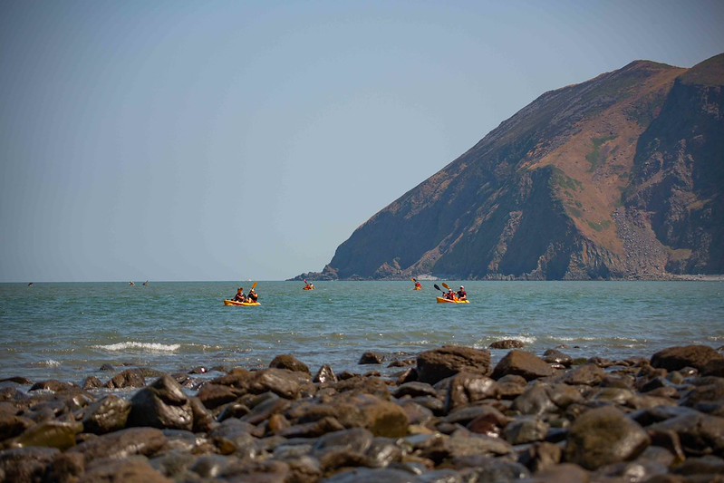
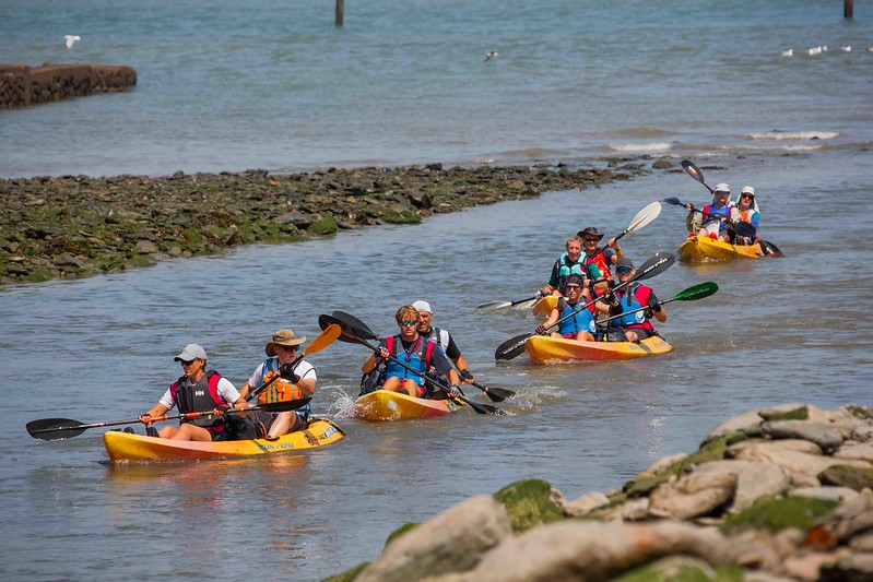
After an early start and a snooze on the bus, we had to set up our kayaks on a beach. I knew I needed to get into the toilet queue but didn’t bank on the timings for being herded up for the group photo and a walk along the beach to the start line. We didn’t yet have our buoyancy aids on … and our boats were at the far end of the beach from the start line. These two factors meant we were easily last to get on the water.
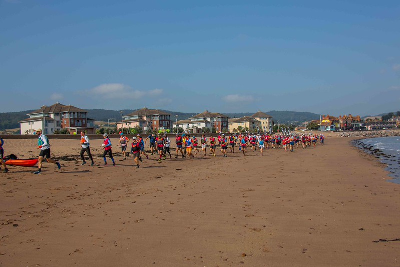
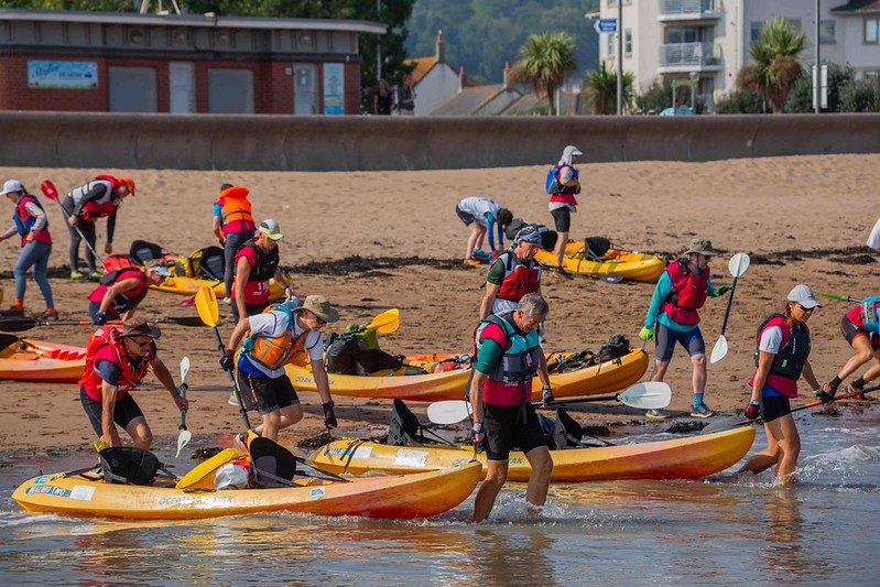
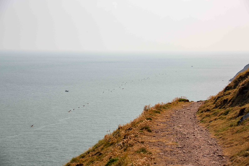
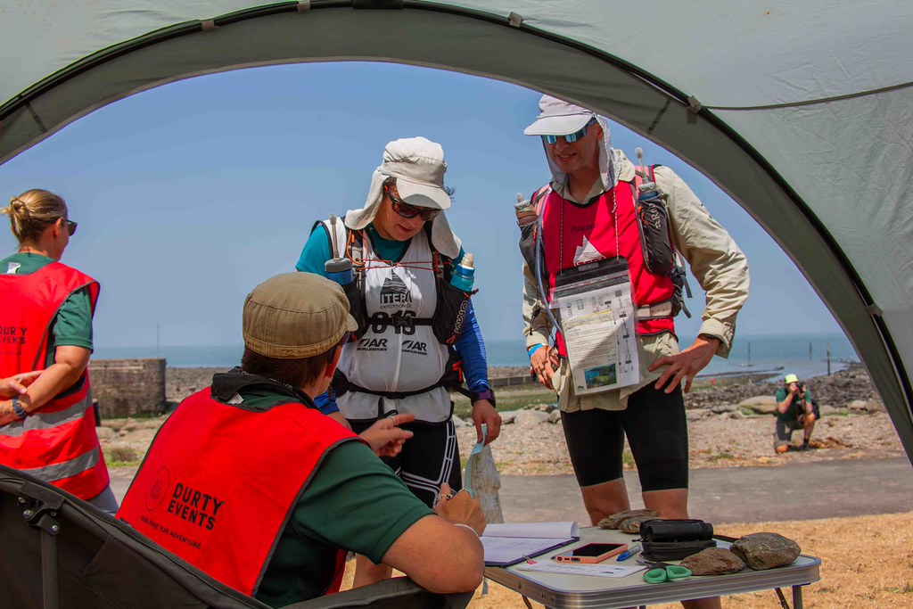
We did manage to catch up about 10 teams, and I was eating and drinking well. There was only one checkpoint, where Dave’s dibber failed to beep! I thought we’d been smart cutting directly across the bay to the exit point, but I think reading other reports we ended up fighting some currents and losing time.
Into transition and I was really going for it with the food, polishing off a pasta salad and getting the first of many soft drinks from a nearby food stall.
Very hot trek in Valley of the Rocks 10.8km / 2h54m + TA 1h17m
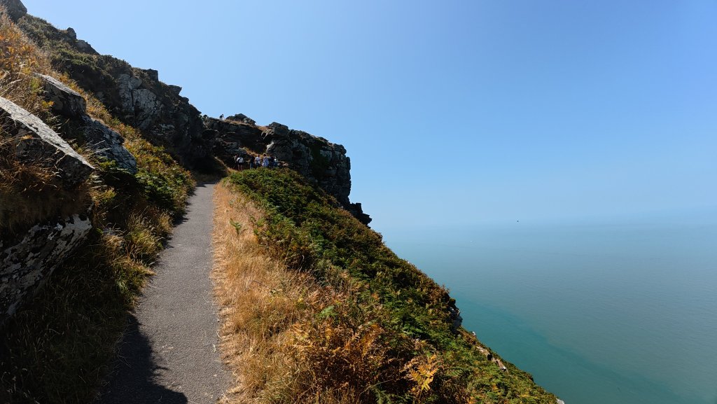
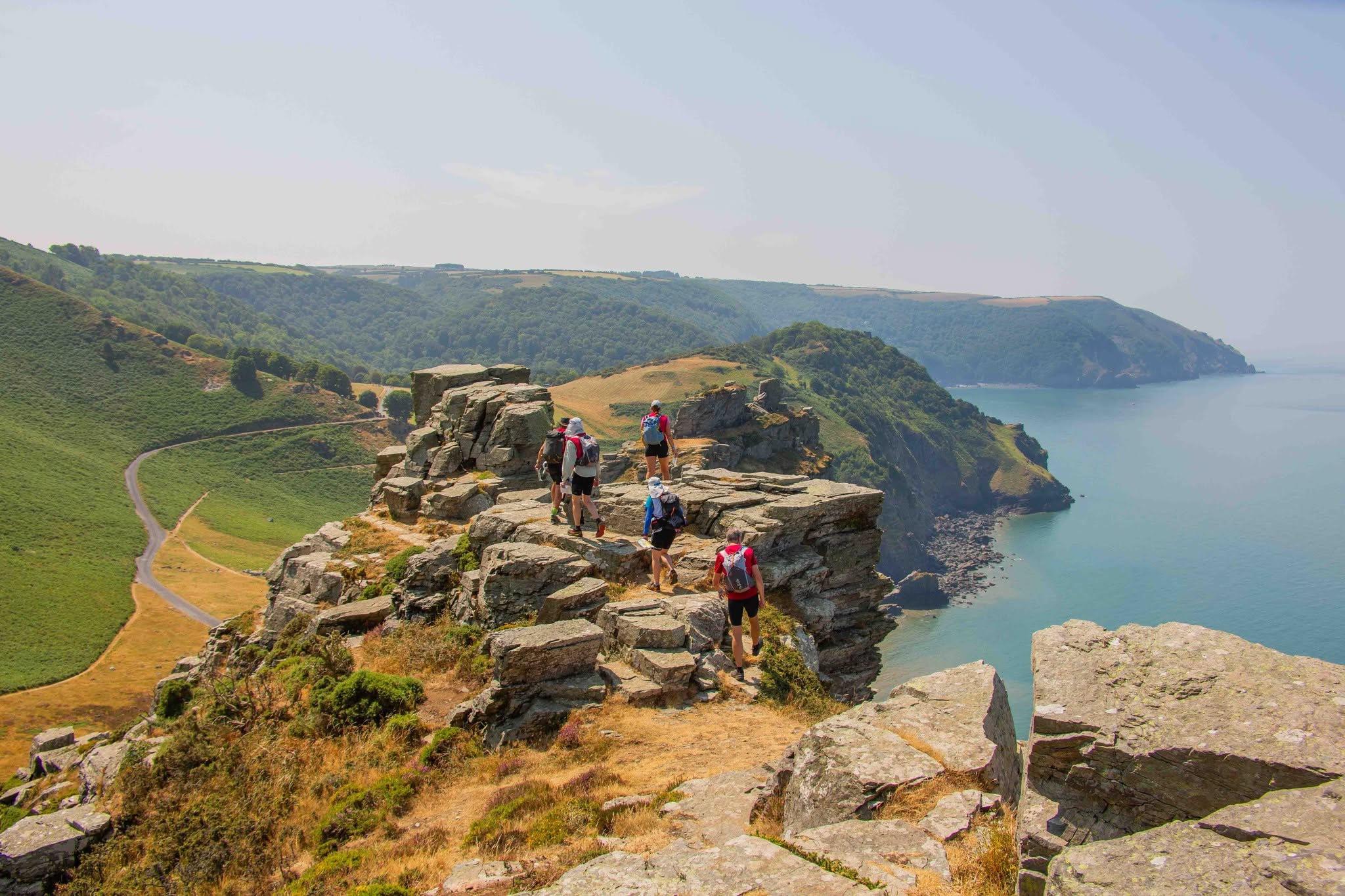
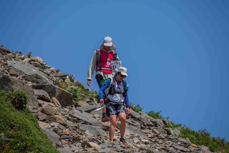
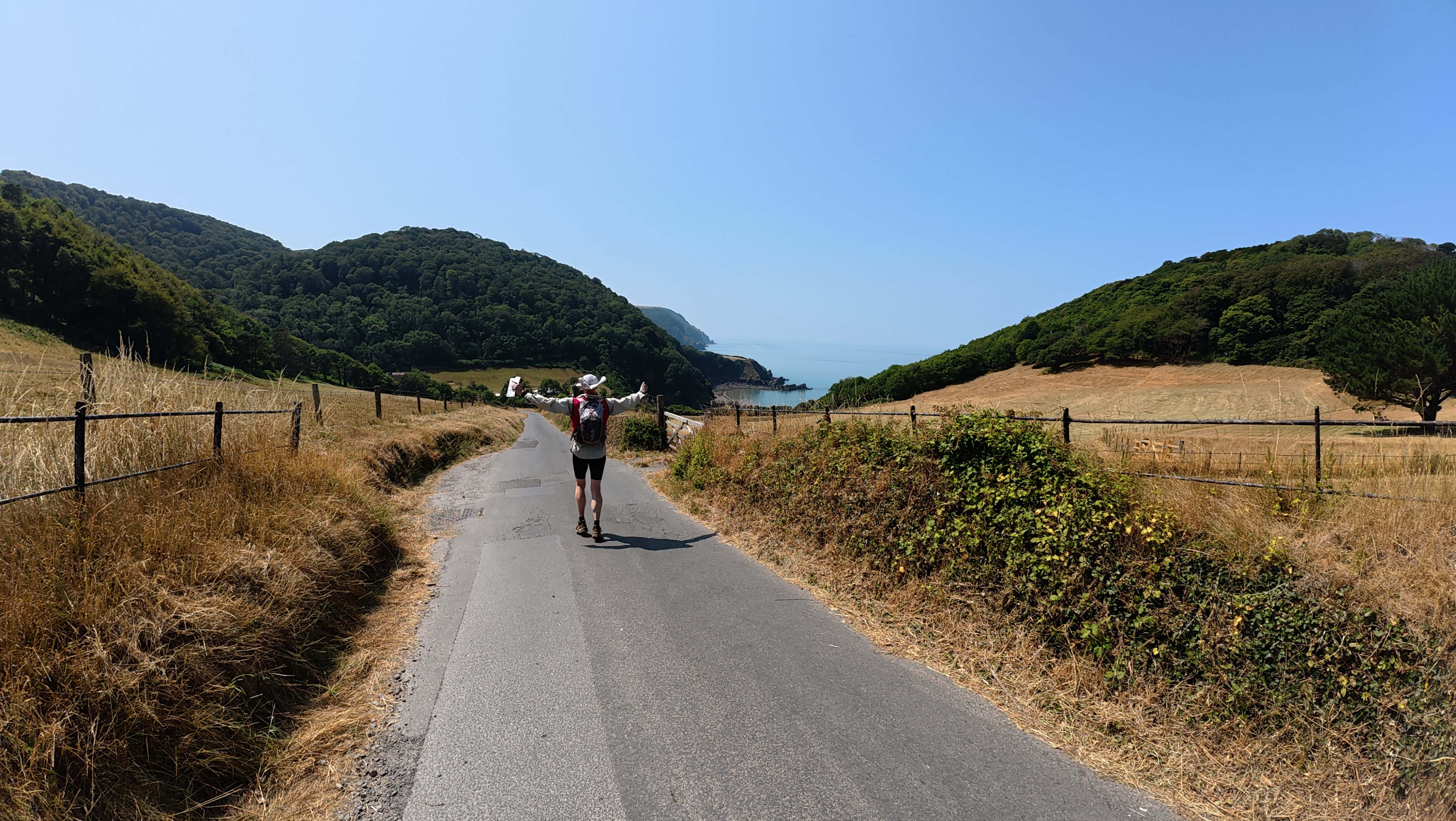
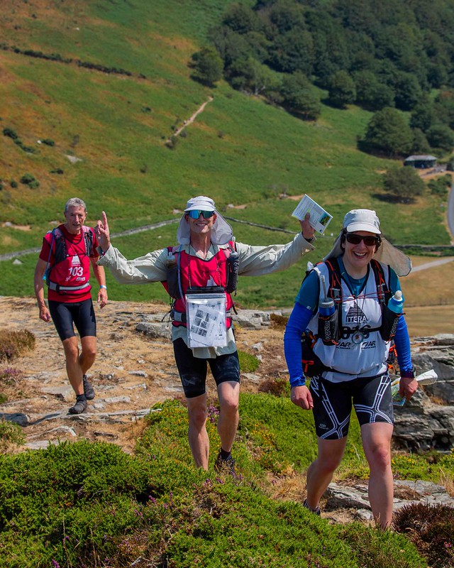
This first trek was pretty cool, scrambling up onto the rocky outcrops with views out to sea. We had decided to collect all the controls, although in retrospect this took rather longer than it should have done and took a lot out of us with the heat. I was grateful I’d done some acclimatisation before the event; you’ve got to factor in Edinburgh being a good 10 degrees cooler than ‘down south’!
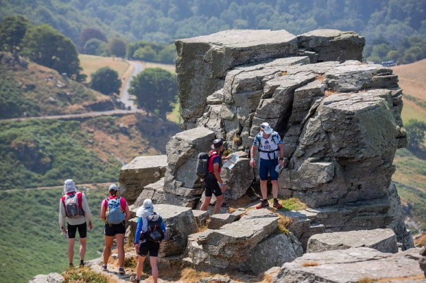
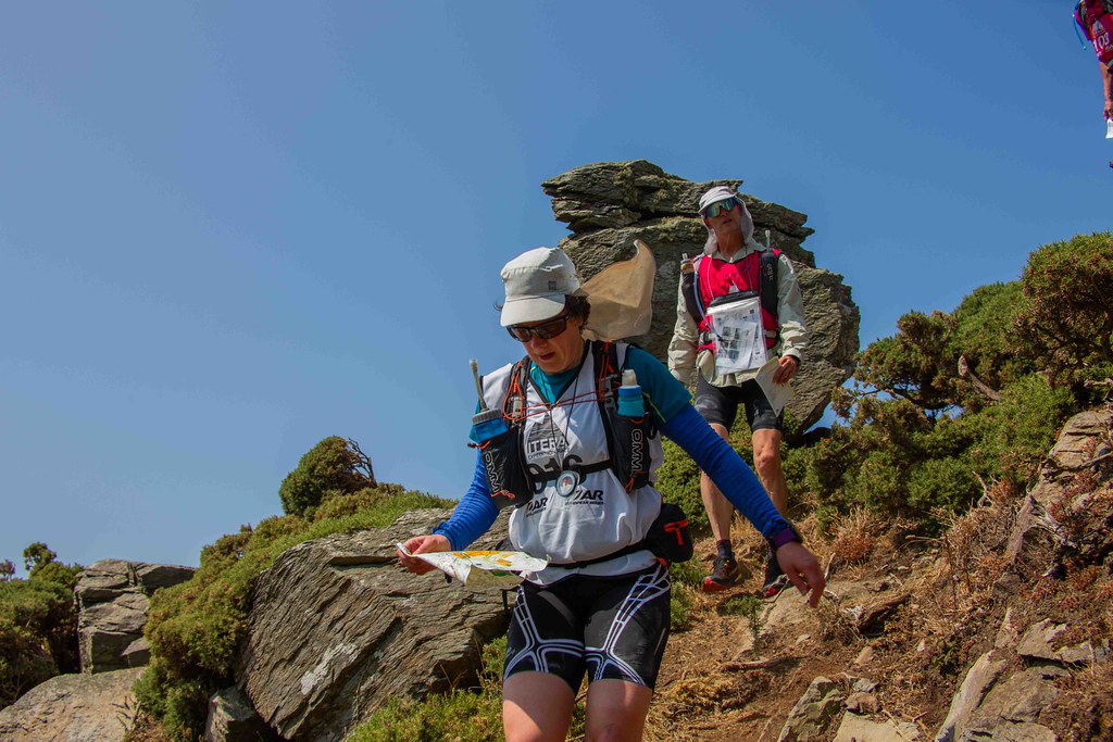
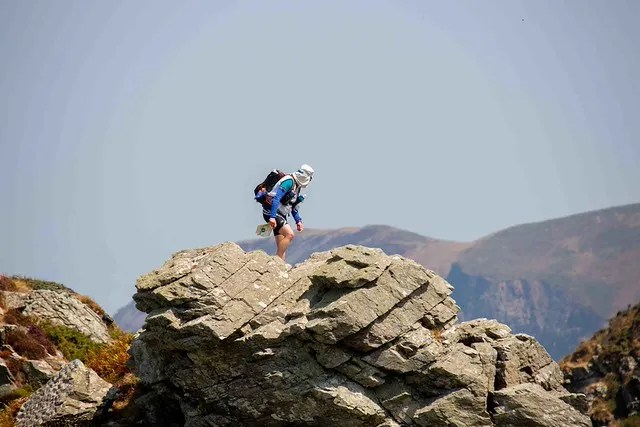
One of the controls was missing, which threw us off. However, we collected them all with some good teamwork and decisions on route choice, despite an unusual line back down from one control through all the ferns.
The transition was a bit awkwardly laid out, although the building that could have done with its own map to find the toilets was pretty special! I think the heat and our need to eat and recover contributed to our slow pace here, though we weren’t unduly concerned … yet!
Bike 56.7km / 6h15m + TA 17m
Setting out on the first bike leg, I was really struggling with any kind of smooth or efficient forward progress. My eyes were salty, my glasses streaked and I couldn’t read the map properly without stopping and peering at it with my glasses off. To add to my woes, it was very fiddly navigation, with loads of detail that was hard to read at a glance, and tracks in the woods that we had been warned weren’t on the ground quite as they were on the map.
I did enjoy the fast and beautiful sweep along and down off the cliffs before we faced the first of many hill climbs on the road.
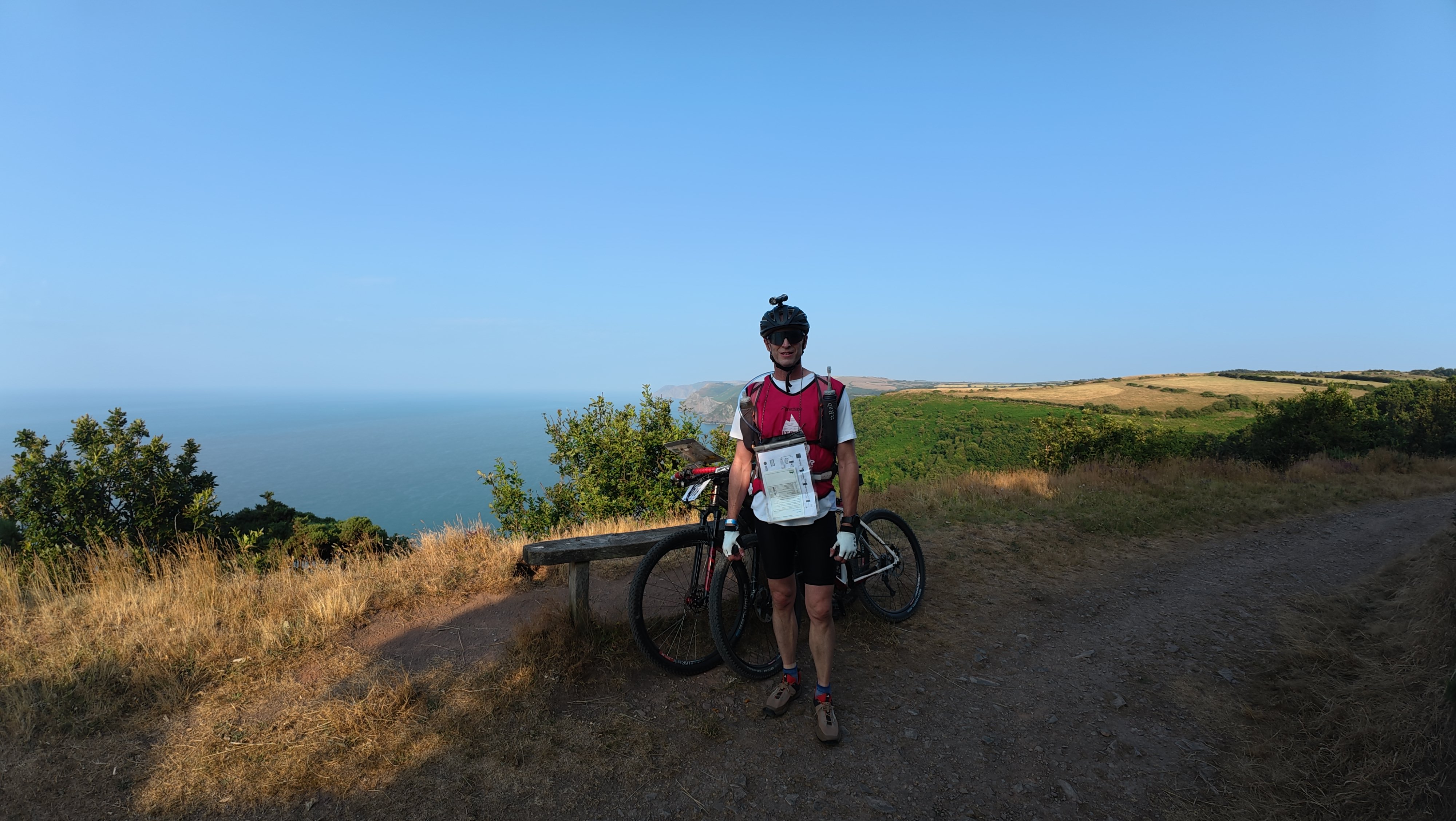
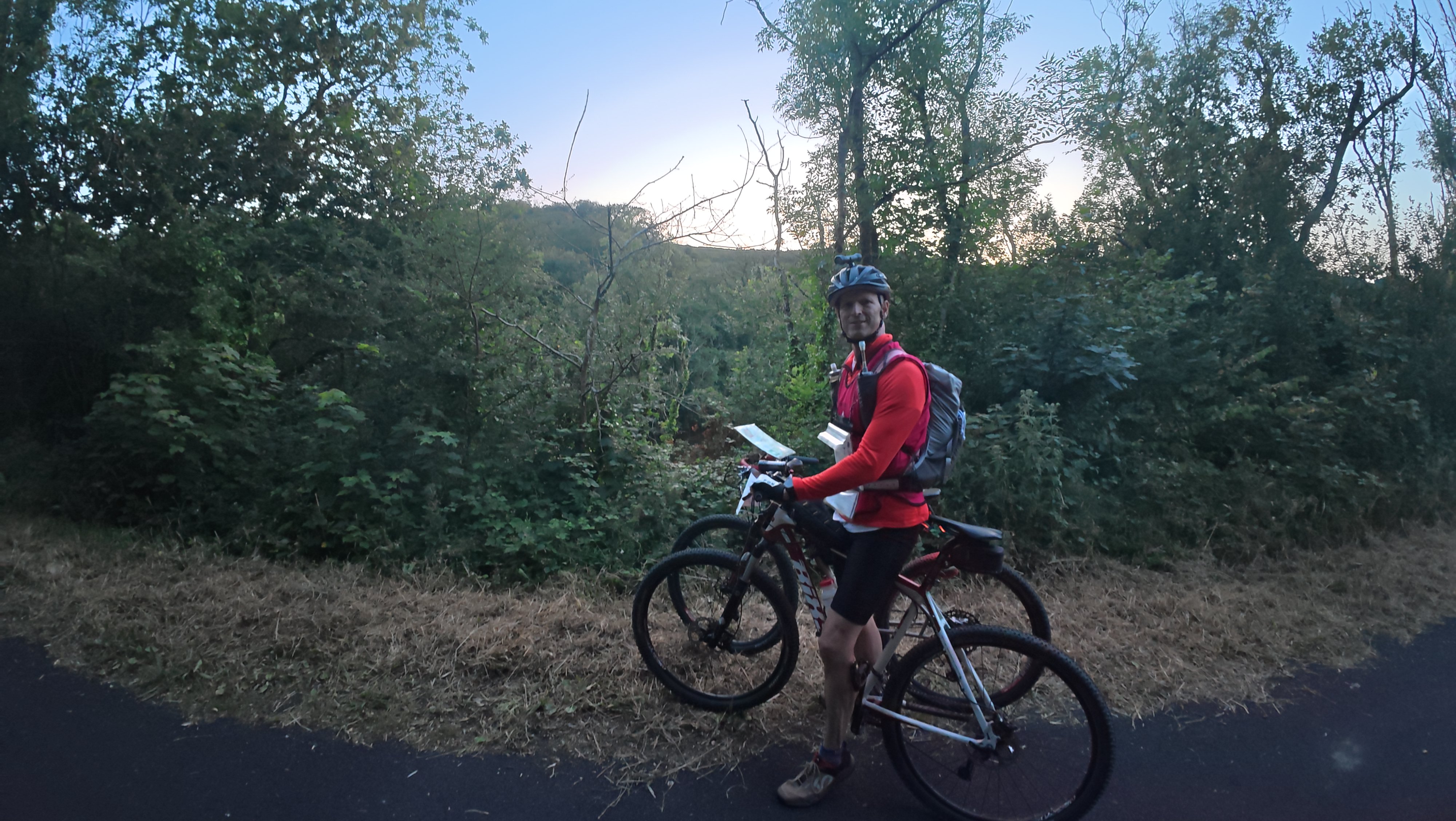
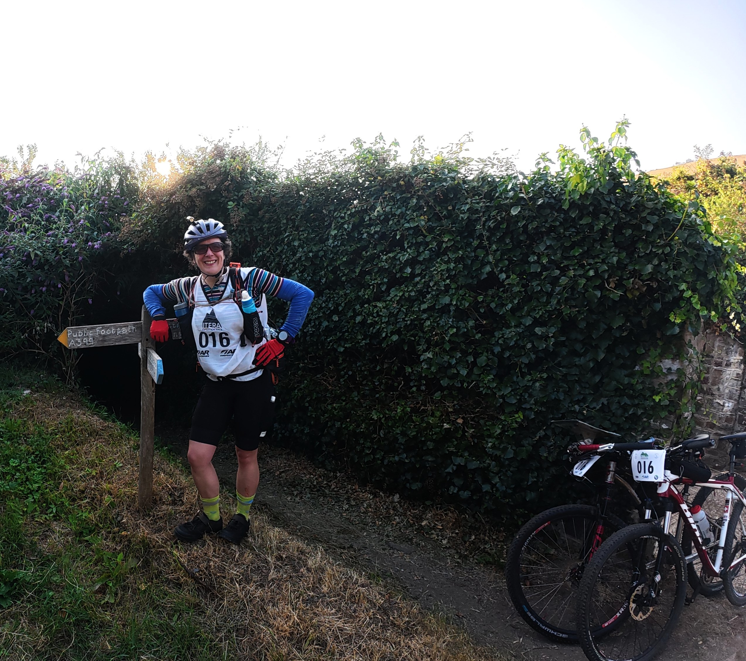
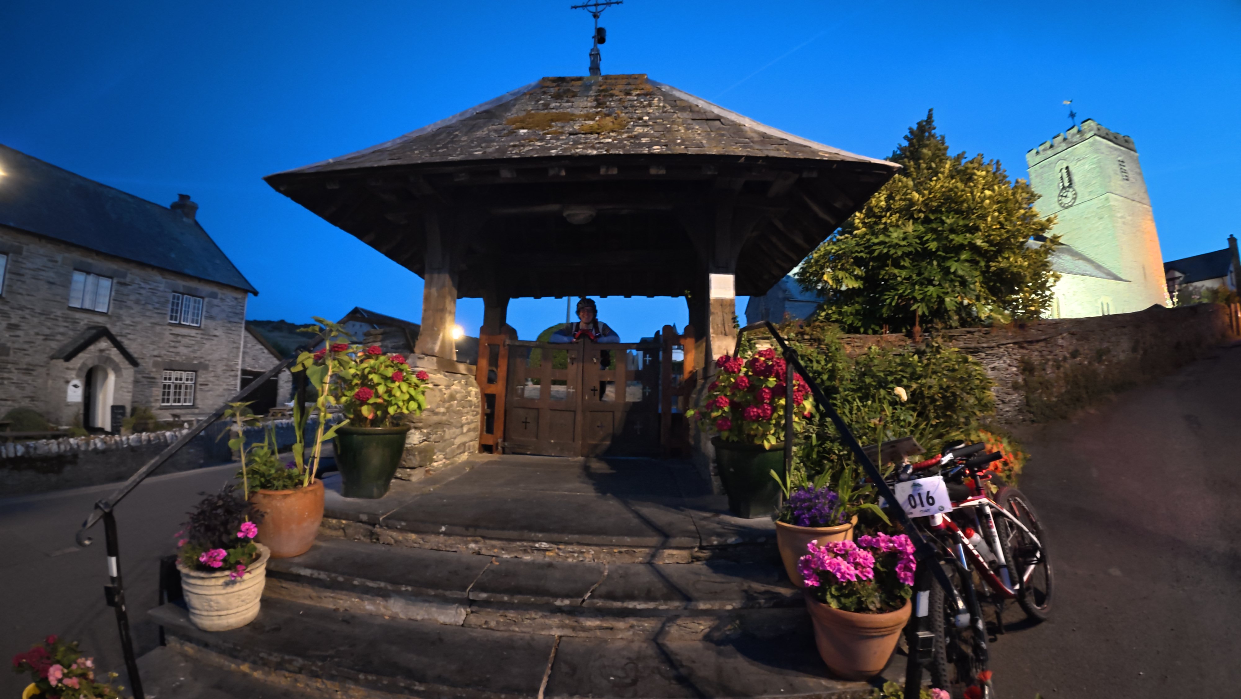
Our pace was slow overall on this section, and I think it was just the combination of a lot of little things. My difficulties at the start. Trying to find a track on the map that was blocked off and spending too long debating it. Having a sudden confidence crisis before a turn and back tracking just 100m from it. My camera deciding the memory was full, when we still had many mandatory photo controls to go! And making sure we weren’t breaking any rules riding on the wrong bits of road in the towns and finding the right exit routes.
An old couple we asked about the missing track asked us perfectly reasonable questions that were amusing in retrospect; ‘where are you going?’ um … (all I knew was the control number). Well where did you come from then? Um… just down there somewhere? Town names had no place in my memory files!
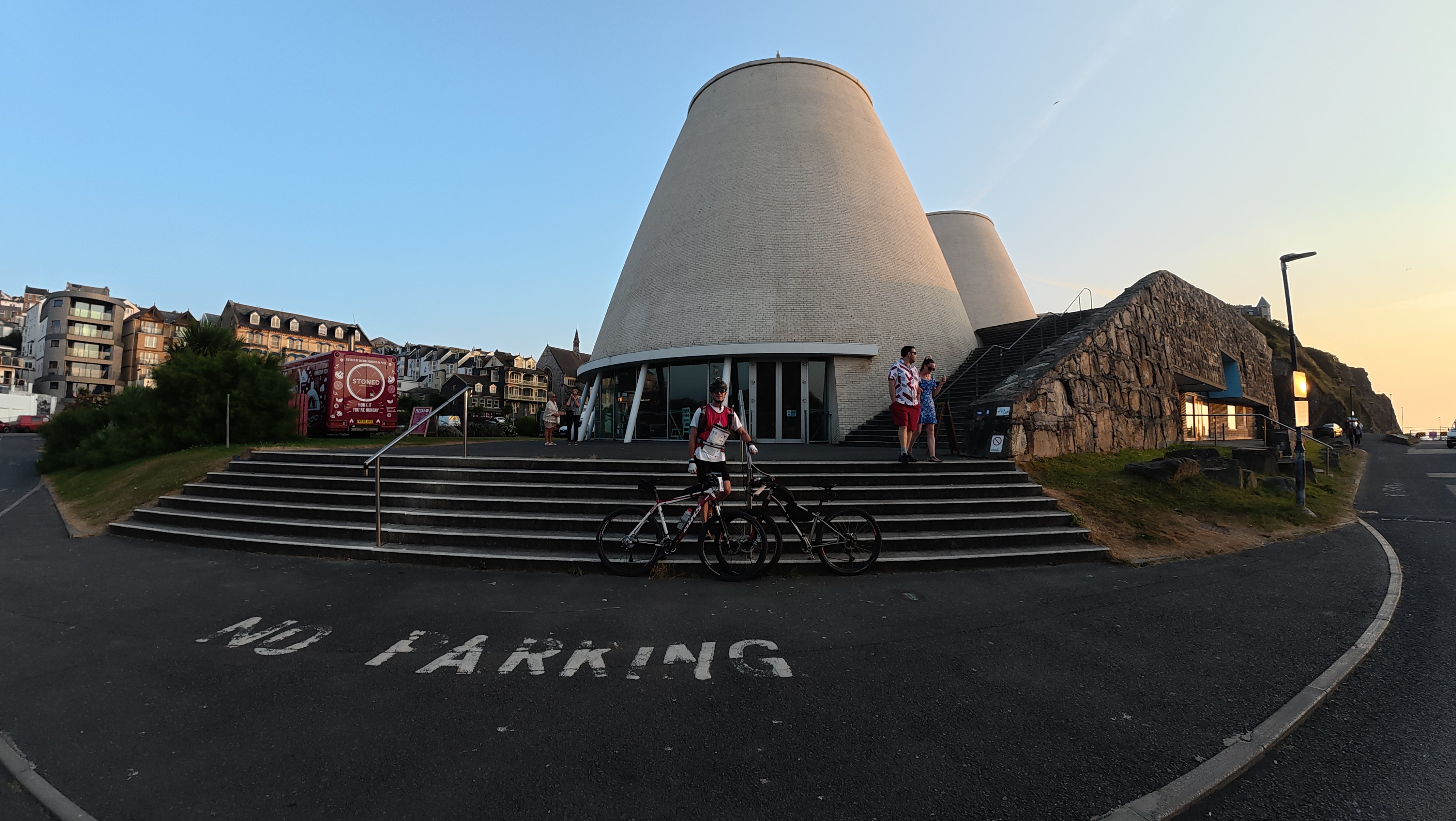
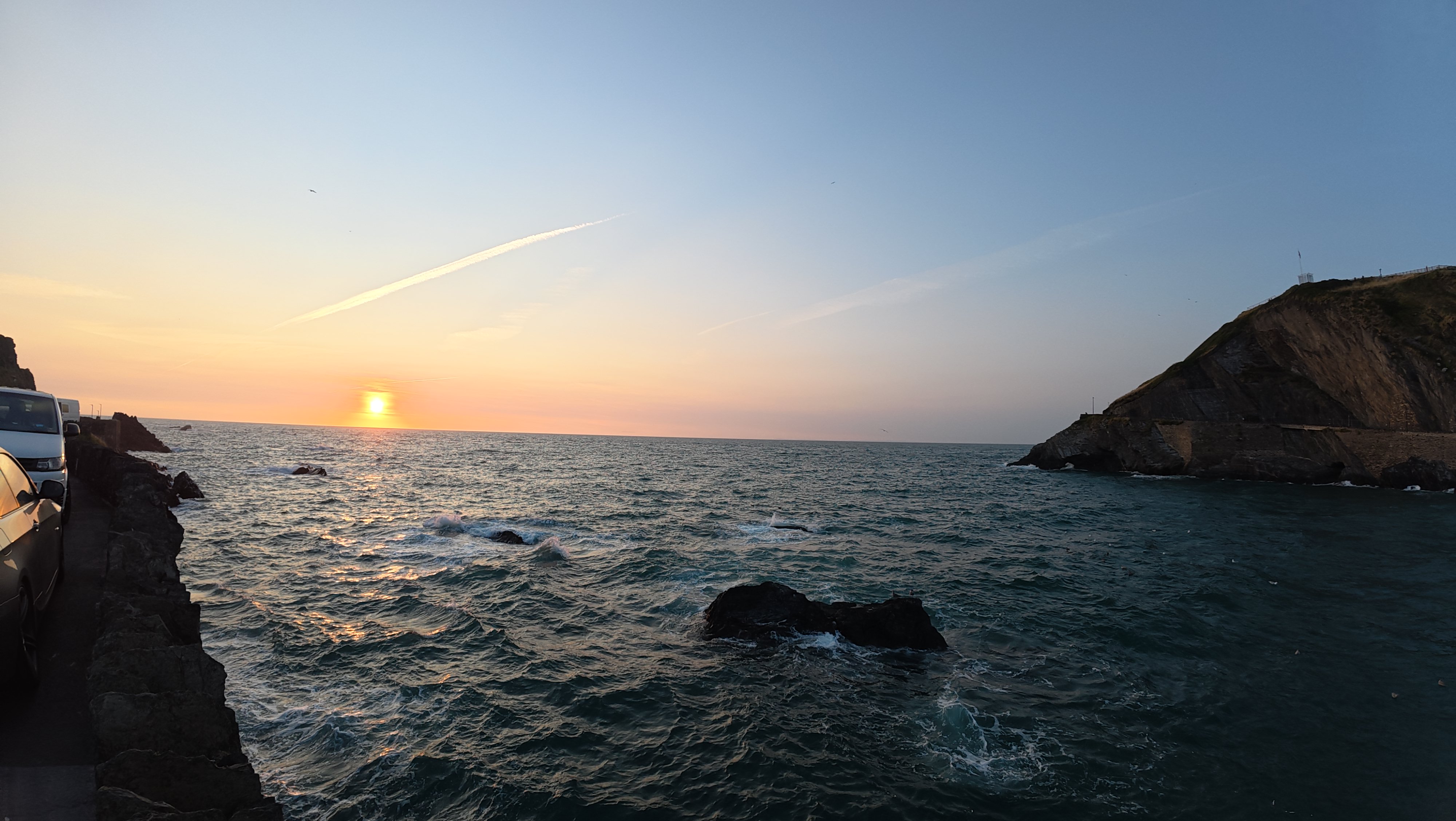
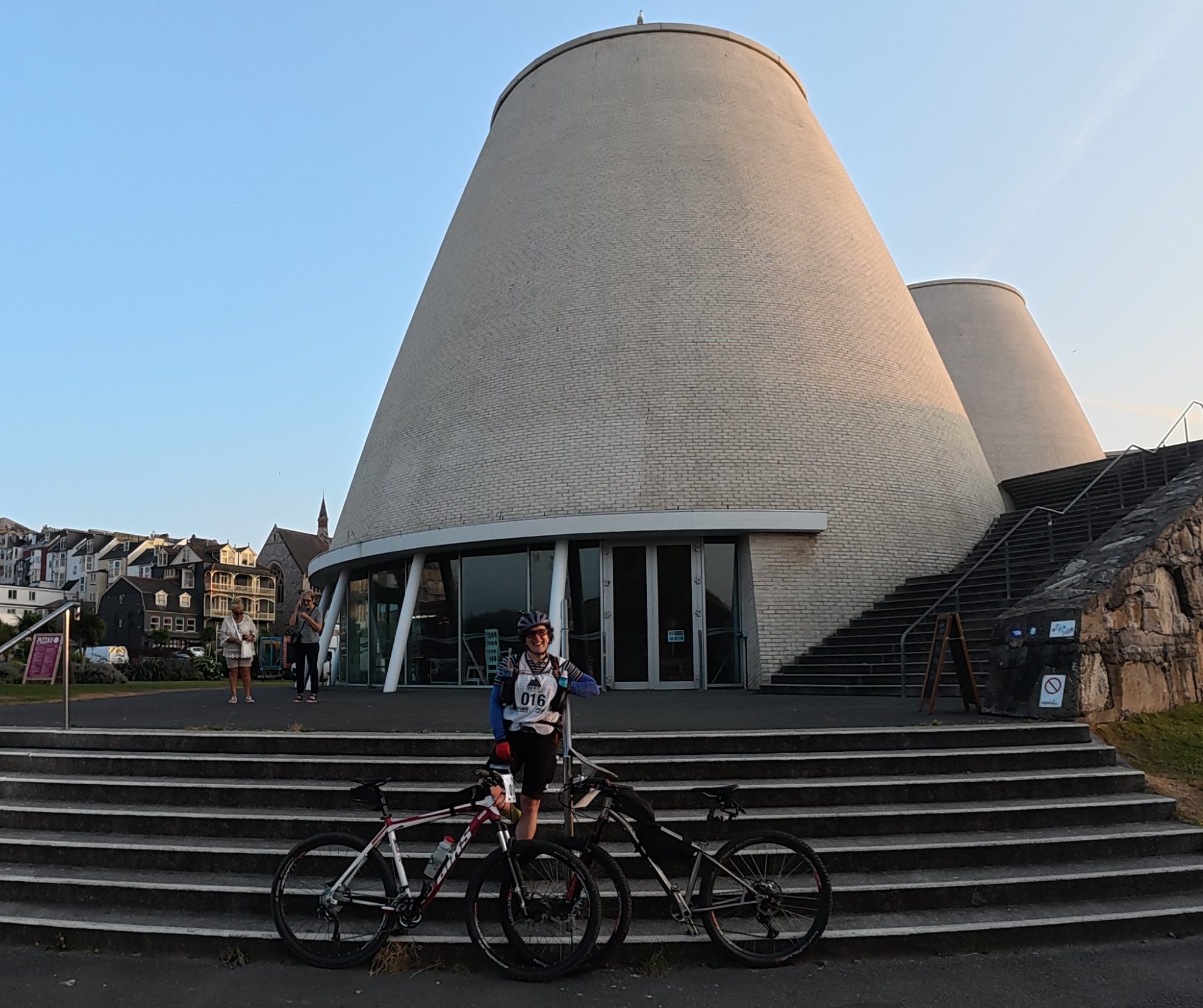
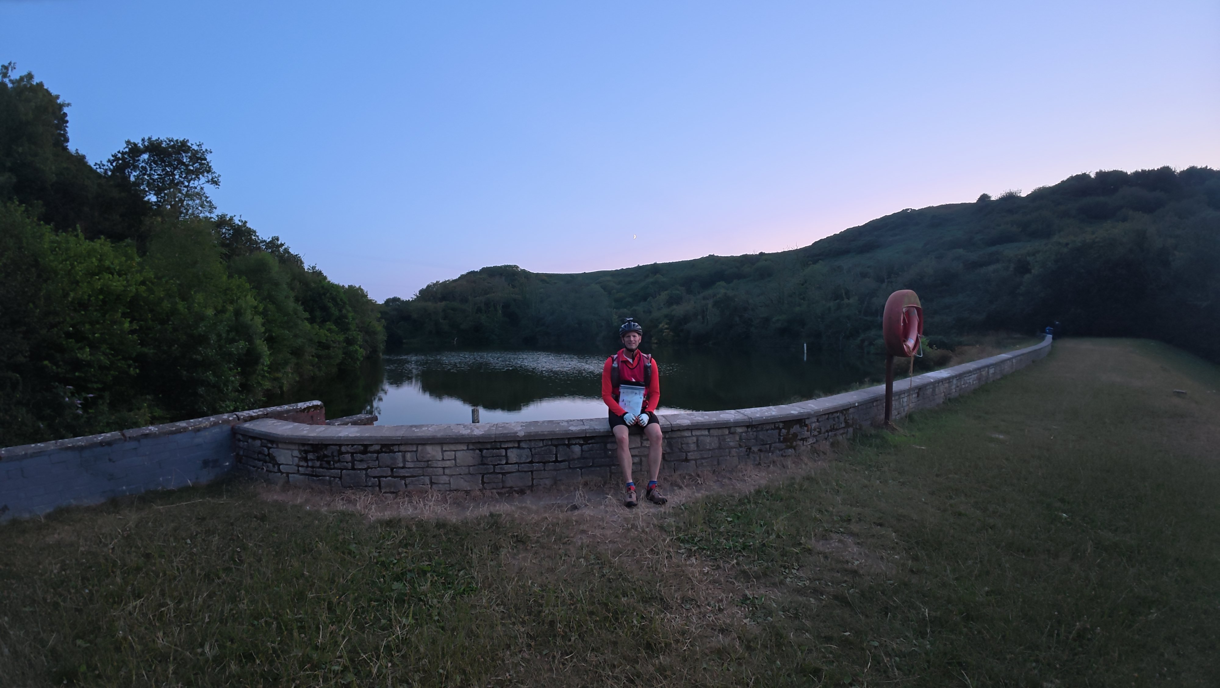
I did enjoy sitting outside the theatre at sunset eating the hummus & cheese bagel I’d carried all day whilst being watched by a very attentive seagull. Dave was a softer touch than me and threw it some crumbs before we set off. There was a pleasant off-road section along the coast just after it got dark that was also quite fun.
After a possibly lucky smooth passage through some sand dunes we arrived at the transition for the orienteering.
Trek (orienteering) 3.9km / 56m + TA 22m
We knew at this point we had to drop to short course to have any chance of getting to the caving on time some 24h in the future. However, I was super keen to do a bit of every stage, and Dave was super keen to get off his bike for a bit.
So, after some pointed warnings about how long it had taken other teams to get round, we cheerfully presented ourselves: ‘we’re here for our ill-advised briefing!’ ‘well, yes, and it is indeed ill-advised’ came the reply!!
After careful consideration we went for just one control that looked the easiest, navigating with a combination of an up to date 1:25k OS map that totally lacked the required detail, and a detailed orienteering map that was out of date! And the controls were only marked on one of them…
We successfully reached our target by the pond and trotted back, happy in our decision not to bother carrying trainers all round the massive bike leg. I knew that if I could trek on the HT550 for 11h in these shoes, I could surely do a spot of orienteering in them. Despite the control only being worth 20 mins and this therefore being a pointless, and indeed net negative, exercise in terms of race time, it was definitely not pointless in the challenge, fun and mental break stakes.
Bike the Tarka trail & sleep 74.2km / 7h57m + TA 1h56m
Off we set again into the wee small hours of the night, rolling along the very flat and very long Tarka trail. We chatted about trains and I queried if this trail was named after the otter, at which point Dave thought I had lost the plot, not having been schooled in this British literary classic. (I was right, an info board told us later).
We paused at one point to debate whether we’d stop to sleep and astonishingly I got a little cold. We set off again but not fast enough to get the warmth back, and we both went very quickly from ‘tired but not so bad we need to sleep yet’ to ‘we must sleep right now!’.
In the end we both eyed up the same bijou spot, a small layby / entrance to a field just to the side of the cycle track. We got set up and went to sleep for 90 mins, semi-conscious of other teams passing us by. For the first time in a race like this, my contact points with the baked ground were the warm parts, with the rest of me hovering just above the point of too cold for sleep.
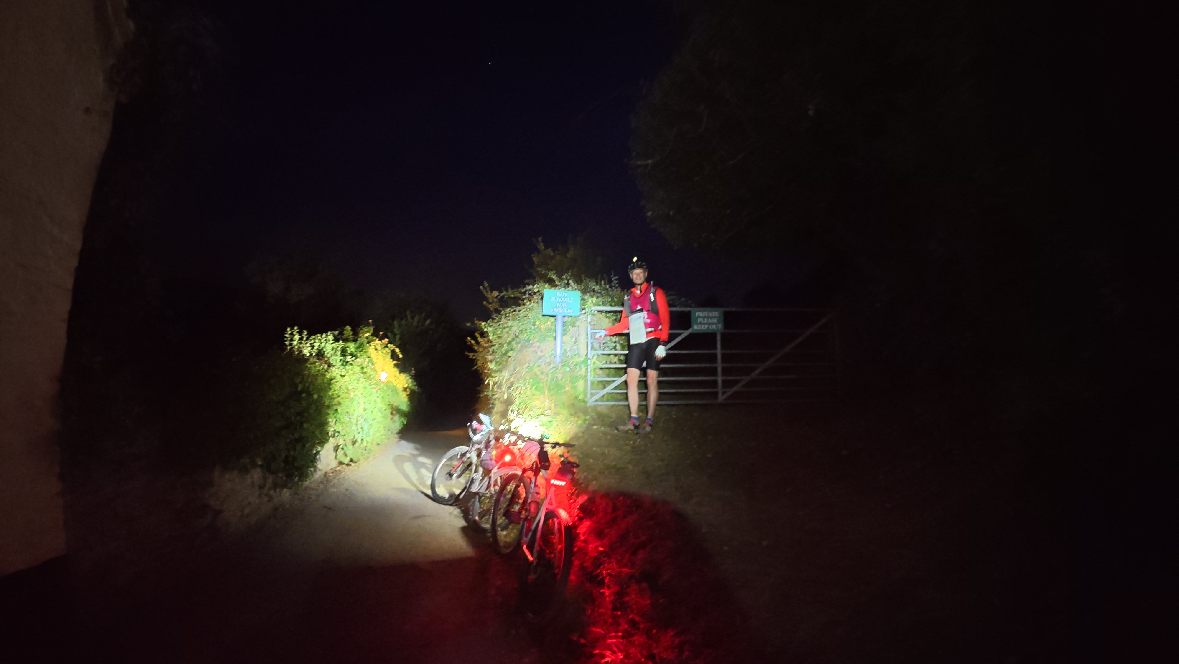
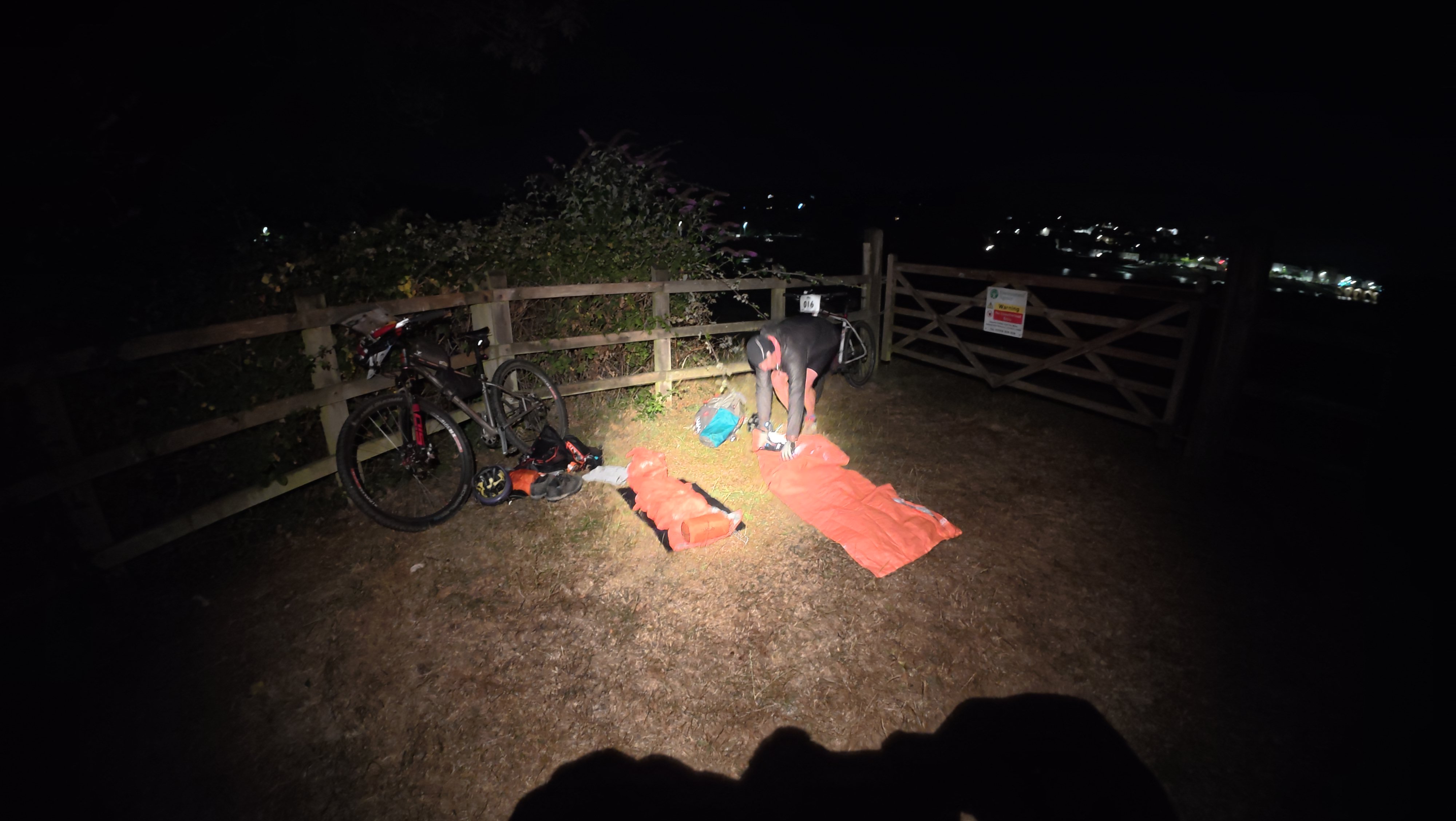
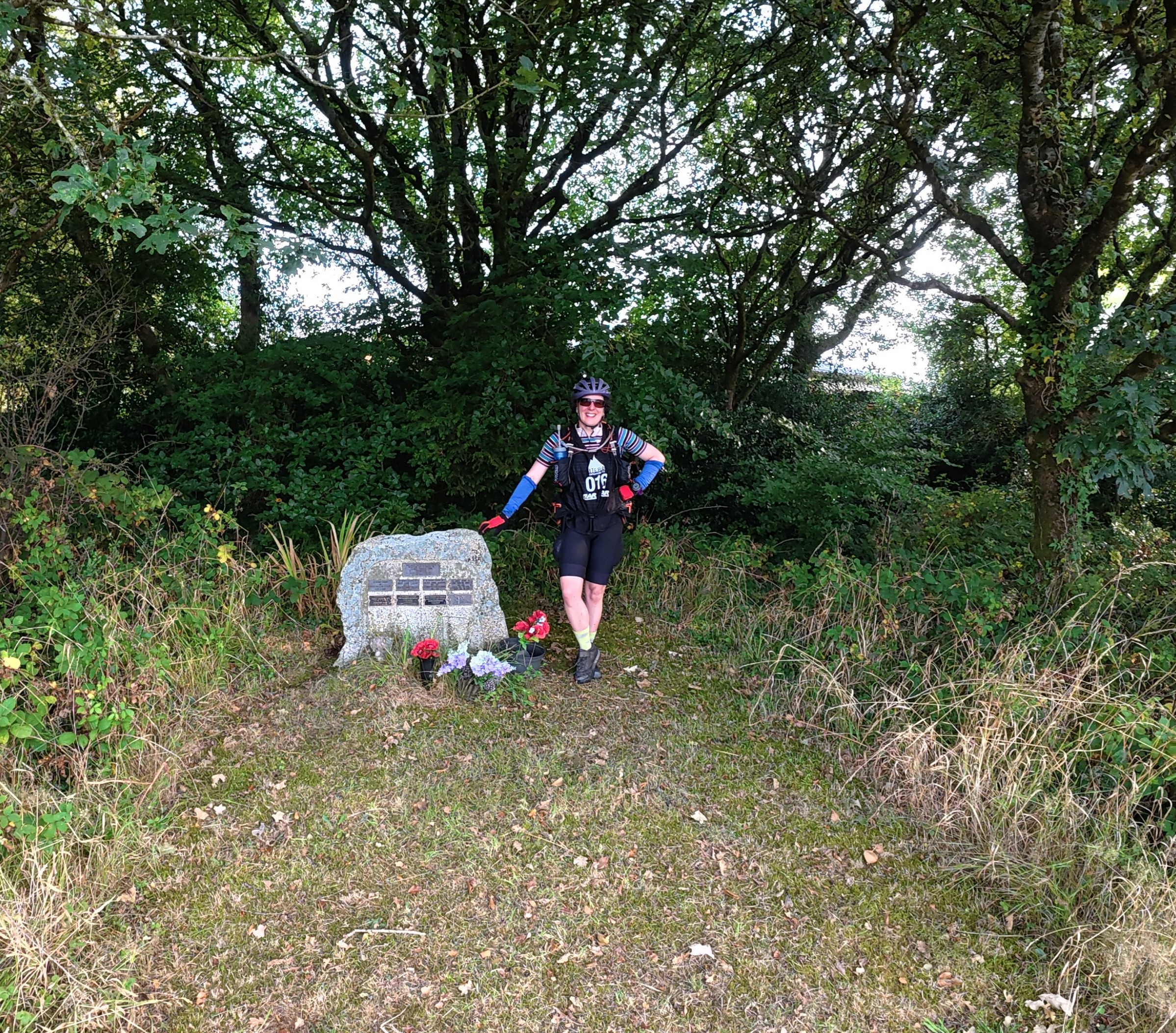
When our alarms went off, Dave admitted he was not feeling great in his tummy, so we did not rush our departure, instead lying talking for a few minutes before trying to move. He did manage to eat as we packed up and off we went again, on flat trails that were more interesting in the daylight, followed by a few hills before transition.
Dave had his worst moment at the monument which wasn’t quite the right monument (but was still accepted as a valid control photo, phew!) and was kneeling with his head on the ground making funny noises. I did attempt a tow after this, but without having trained and practiced, it wasn’t working. So instead, I pushed a bit and offered sweeties until we finally made it in.
The race for us was now firmly in the ‘make sure we enjoy it’ category, so I was relaxed as Dave took his time recovering, we both got some more good food in and I shared some humour with Paul & the marshals. I was also able to work out our plan for the next leg, which we had to be very careful on in order to allow time for that caving.
Trek over Dartmoor 32.4km / 7h37m + TA 1h15m
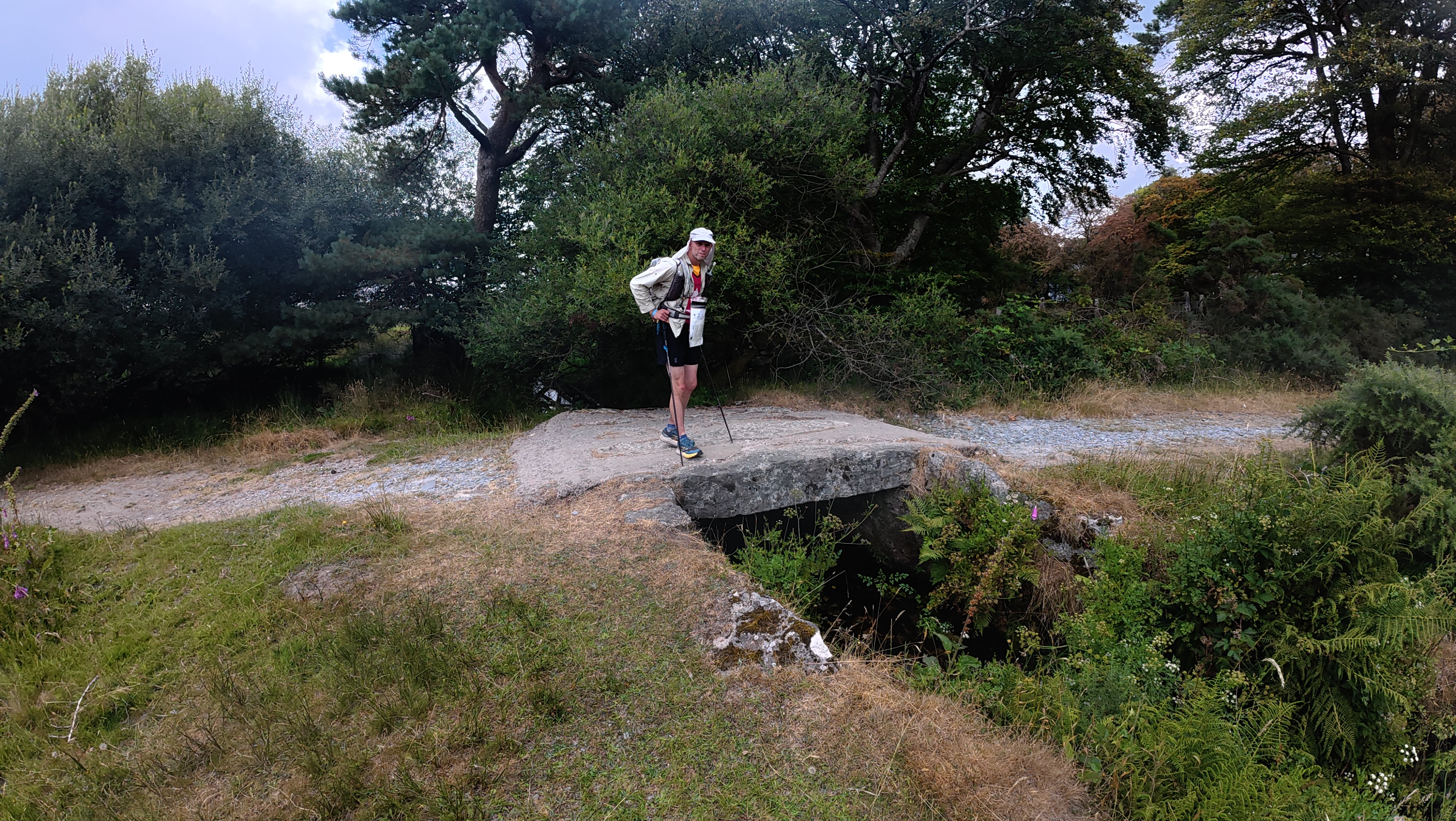
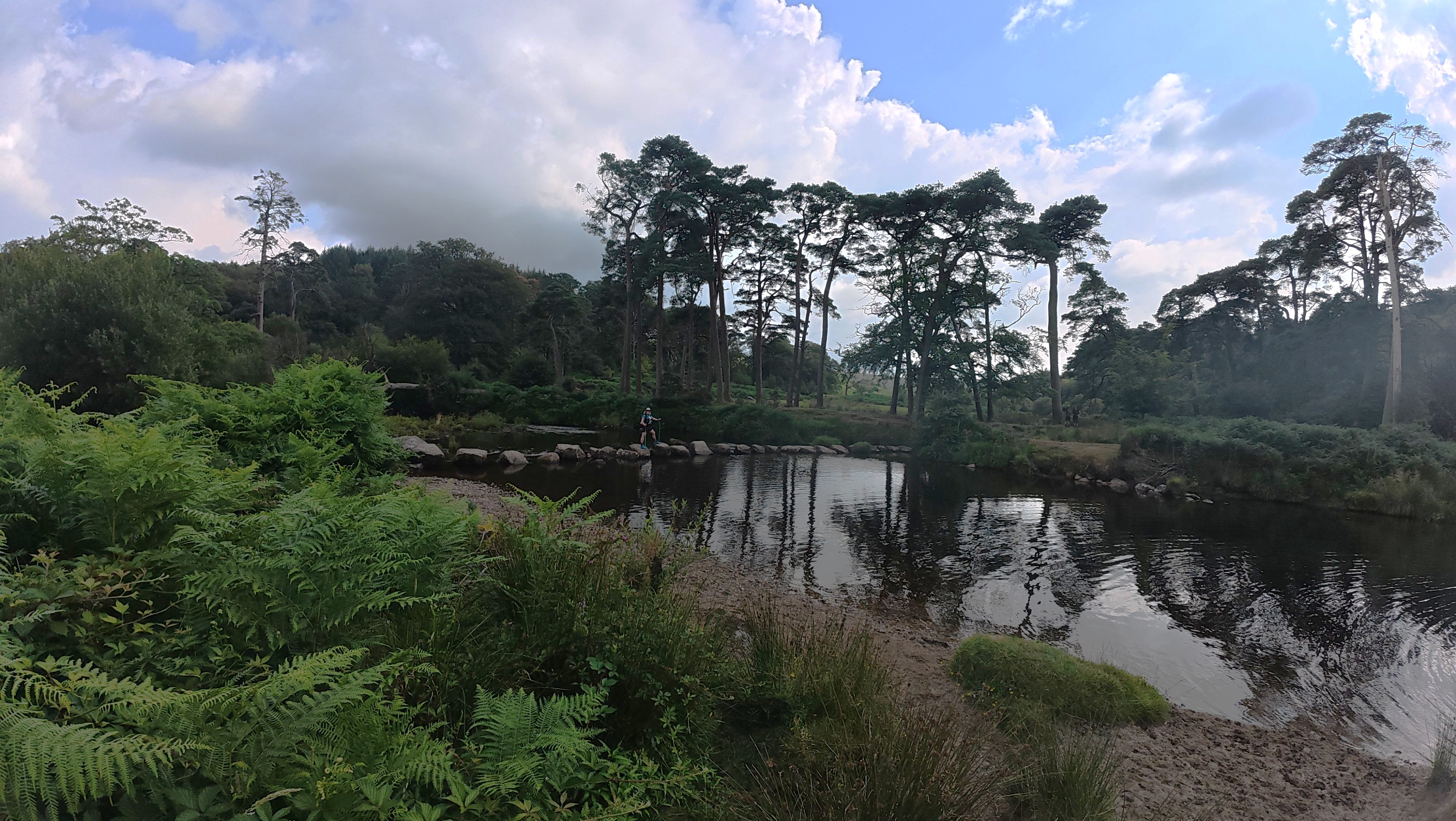
It was easy to see how to shorten the course at the top of the map for the trek, but further south there were a few options, none of which looked terribly ‘short’ nor entirely straightforward! However, apart from a couple of very minor detours, we did what we planned, stocked up on food partway round and successfully navigated the little part of the map where the route was uncertain.
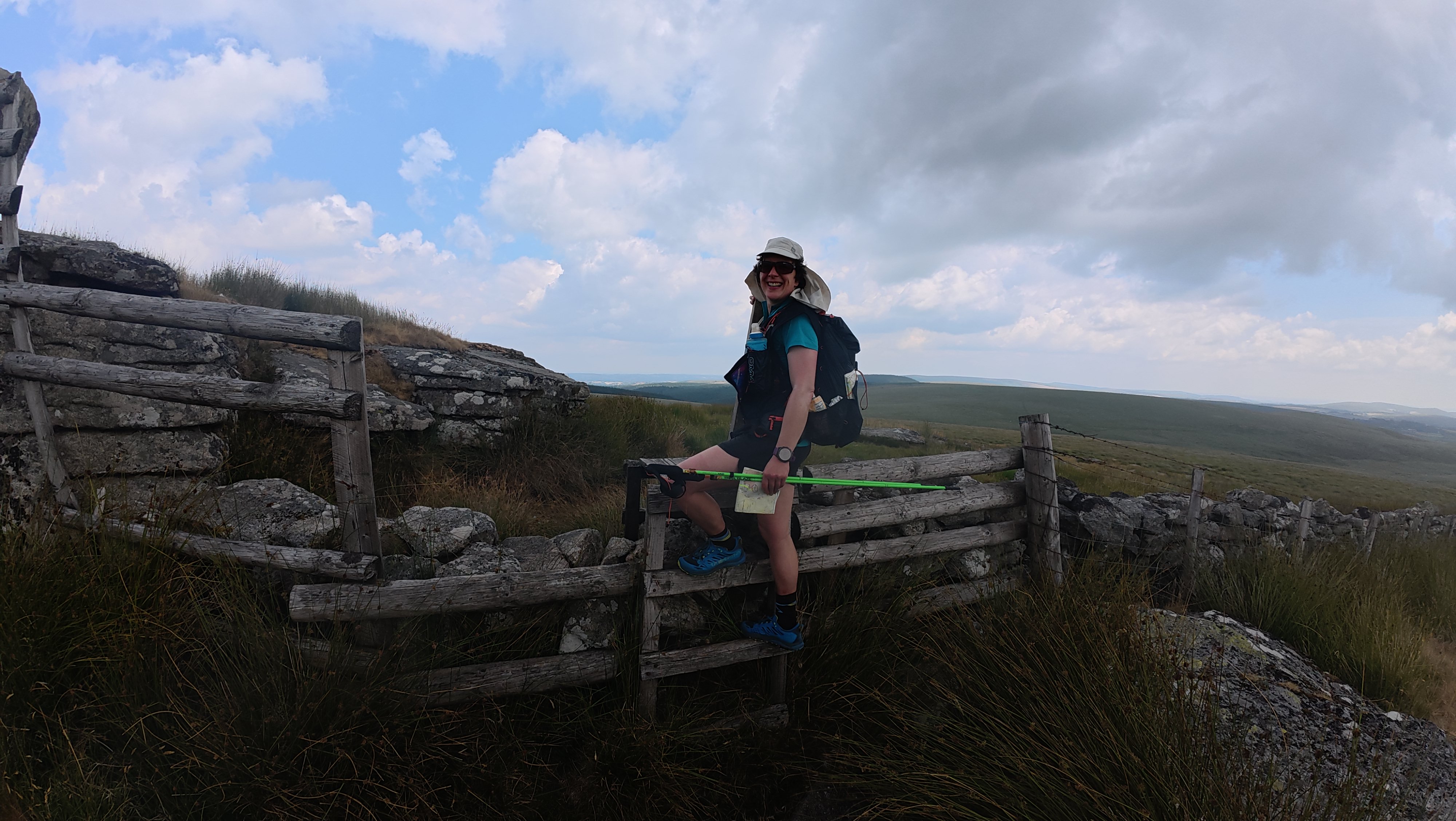
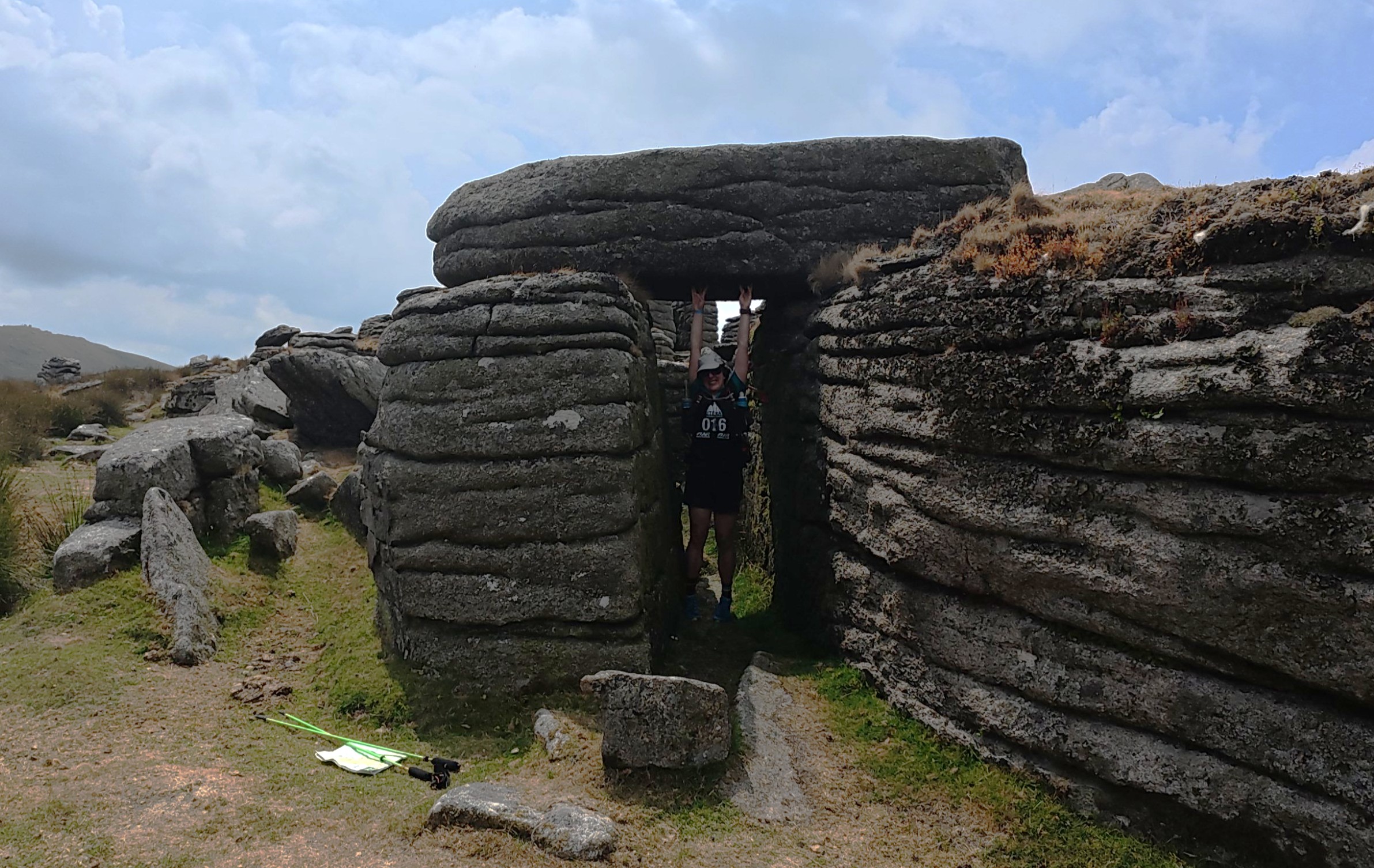
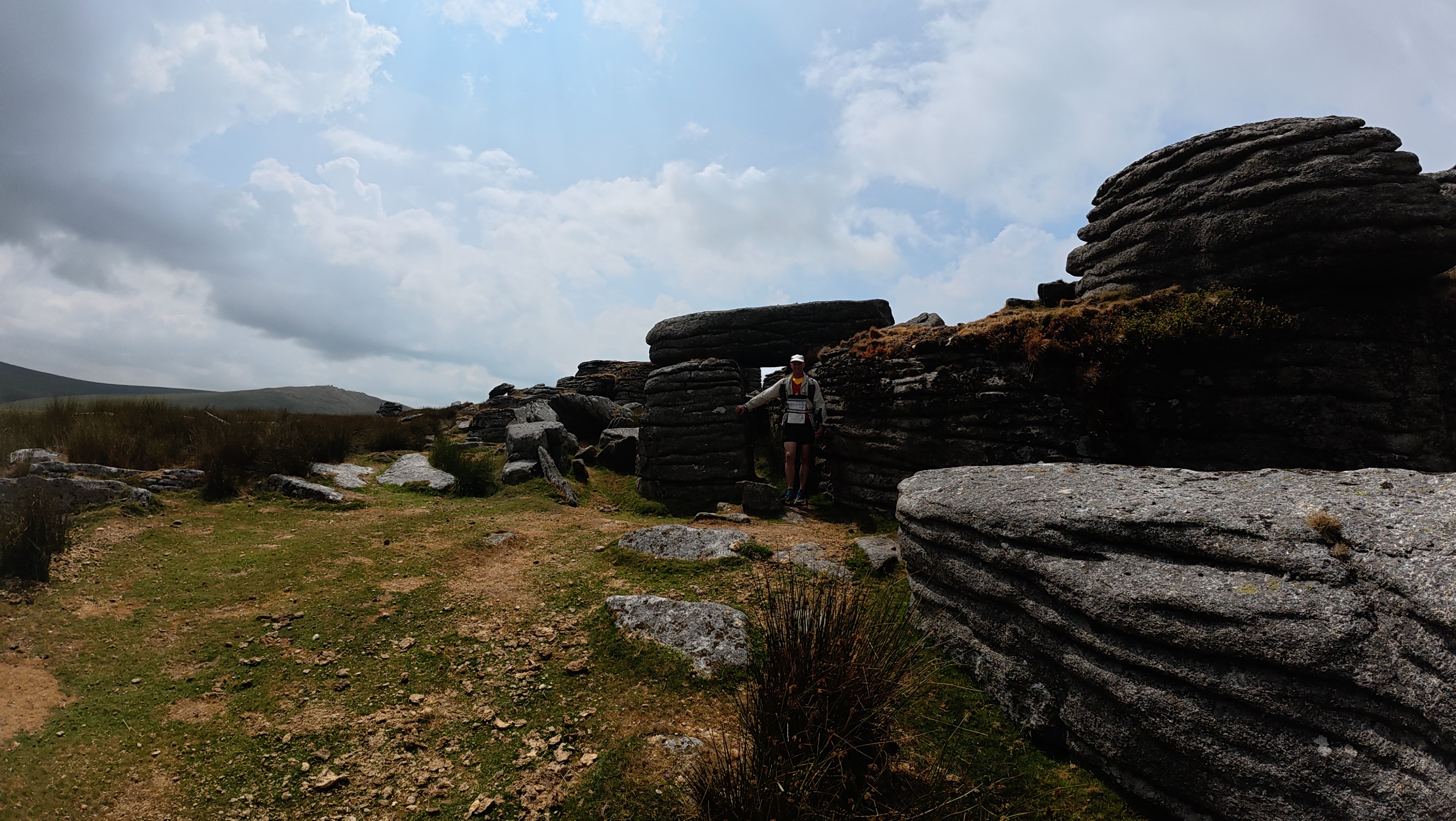
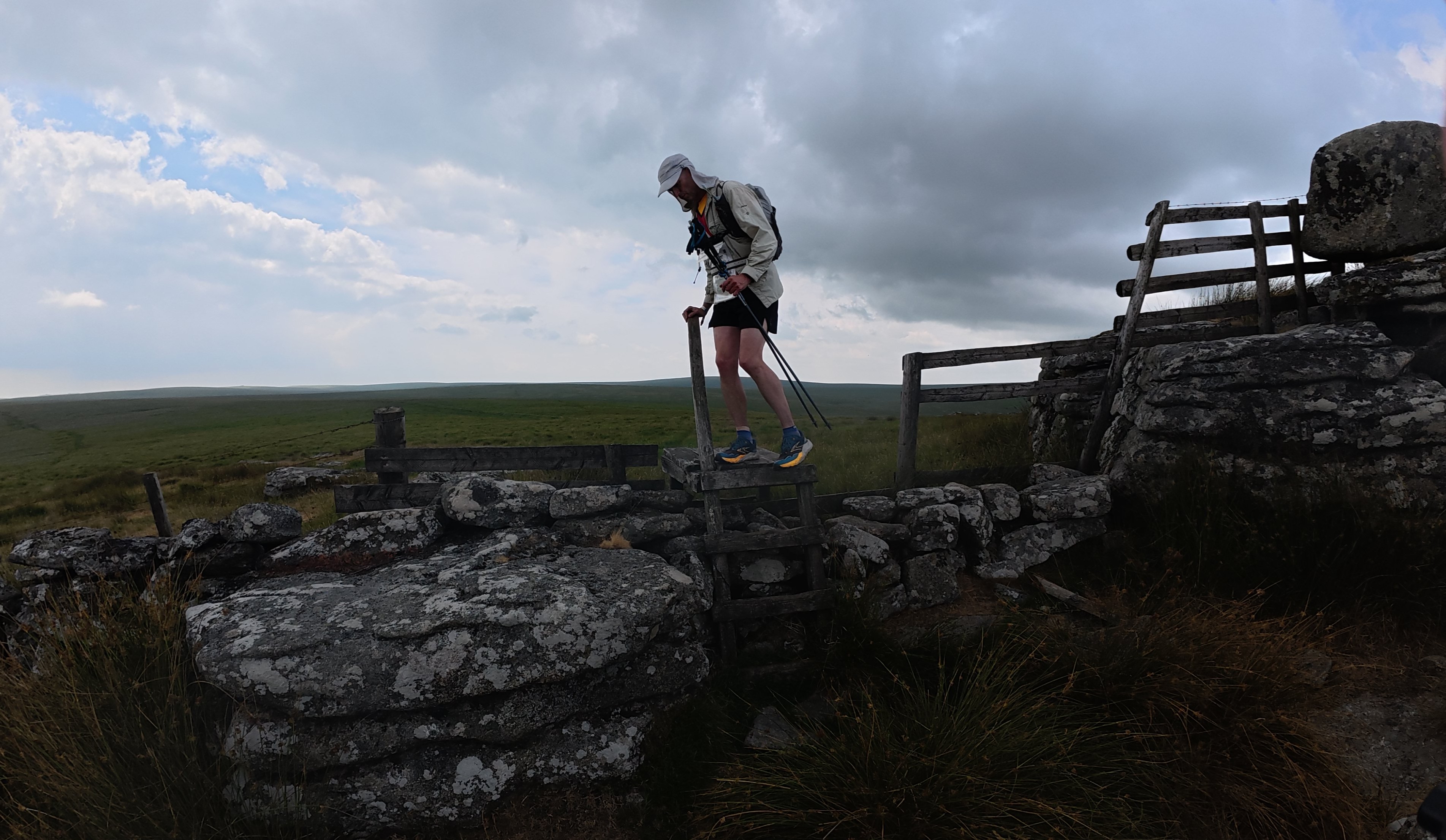
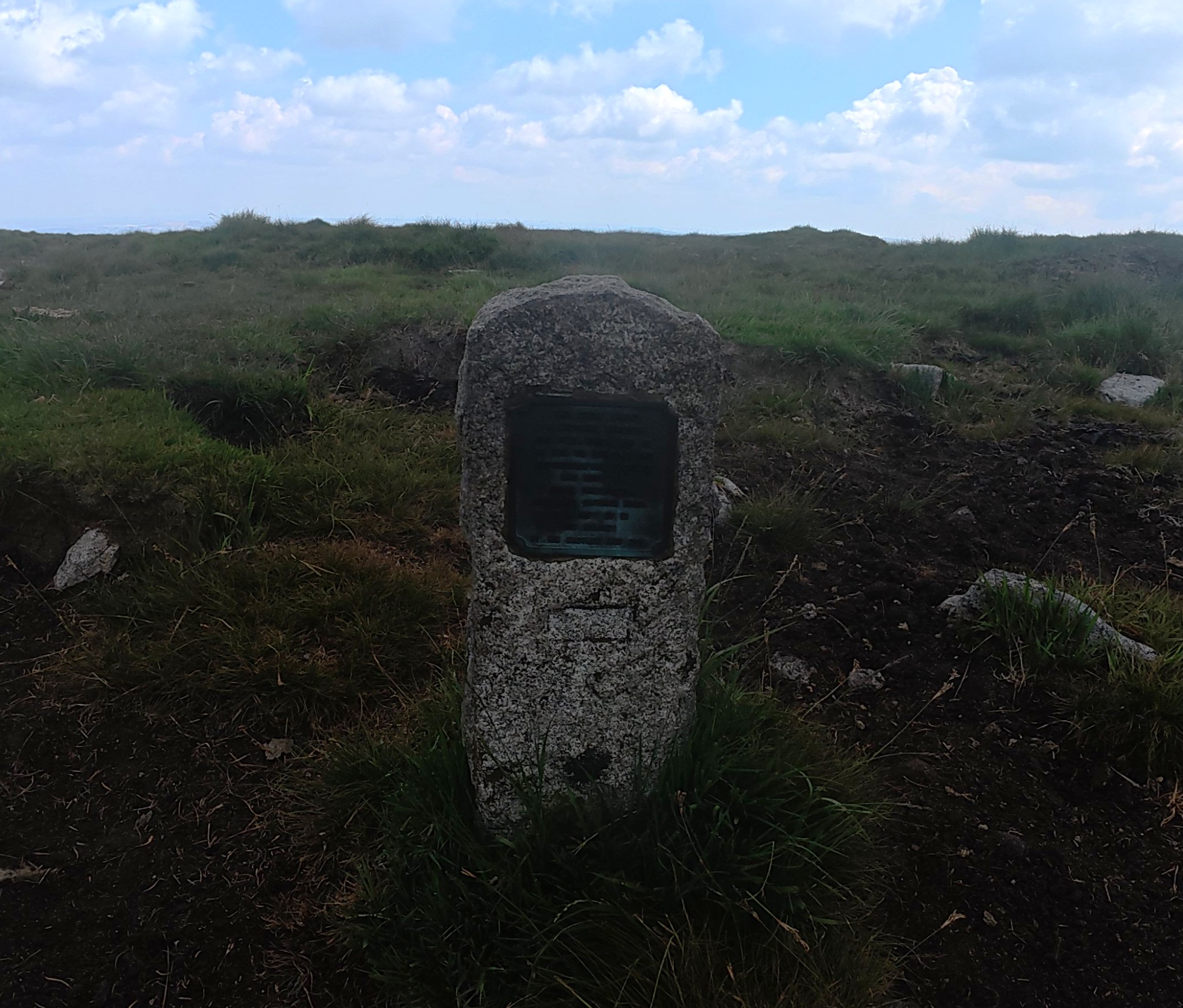
We were extremely lucky that the going under foot was good. Dave had warned he wasn’t a fan of the bogs, which was slightly alarming given that my only prior knowledge of Dartmoor came from The Hound of the Baskervilles, and related to the bogs … We even took a shortcut at one point across ground that clearly was usually impassable, coming out at a special sign commemorating the person who had found a safe route through.
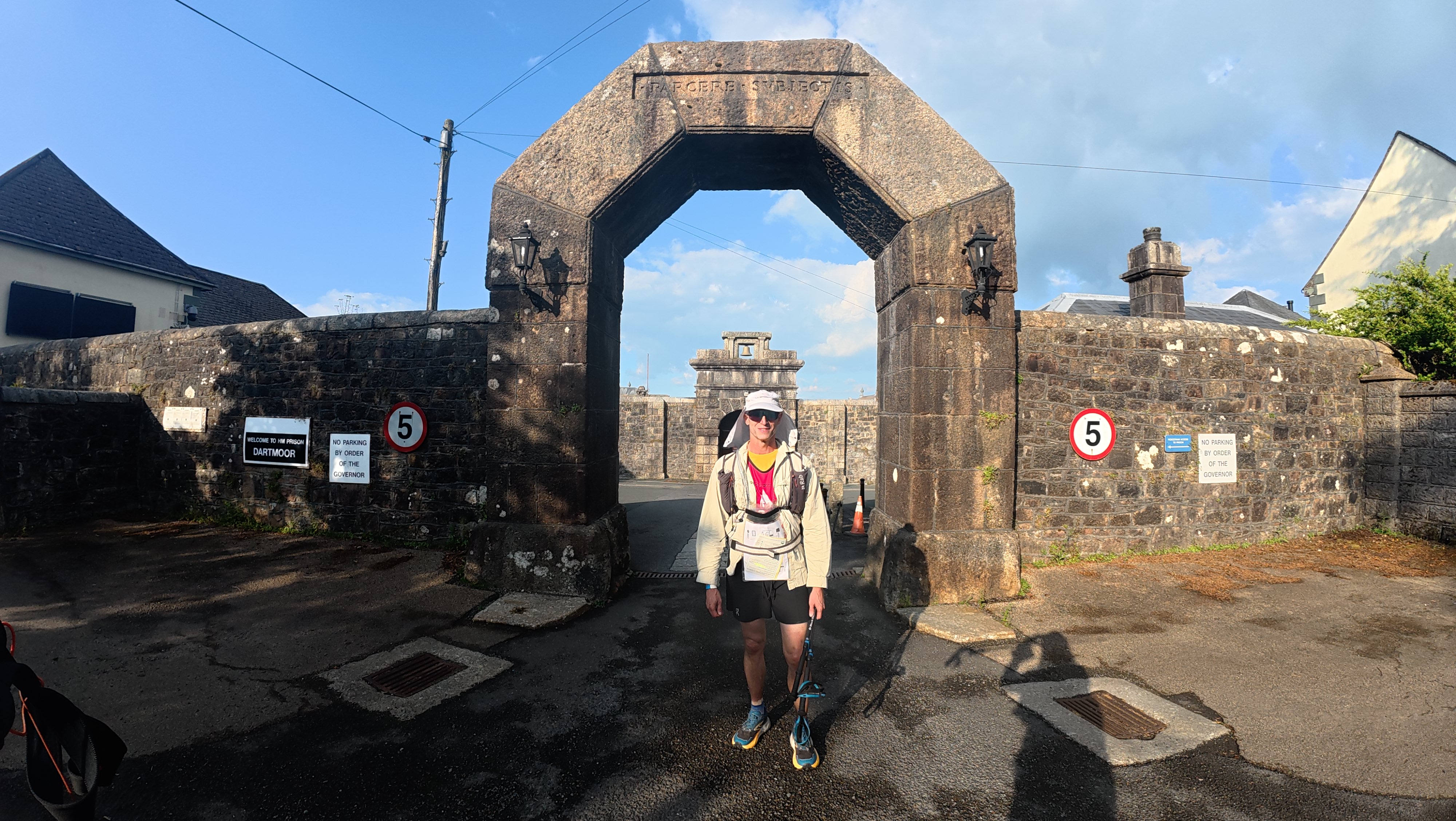
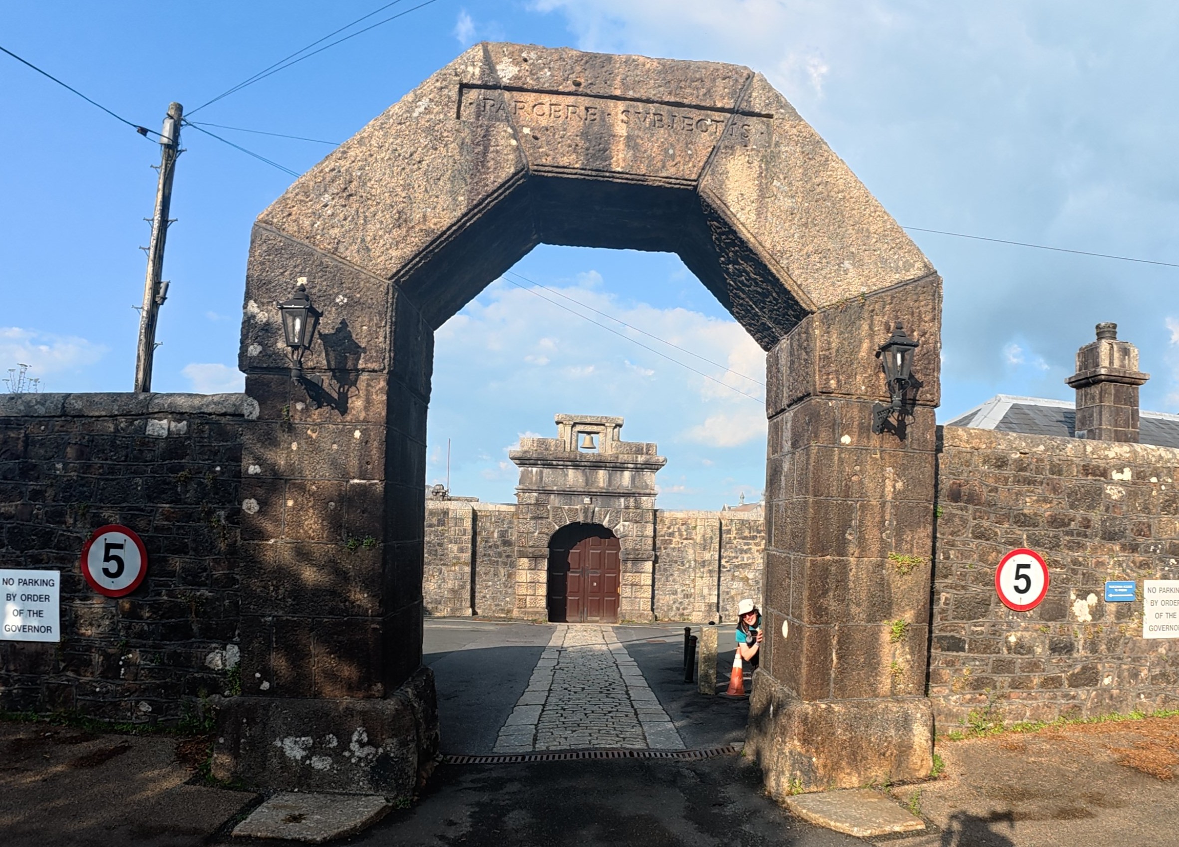
This turned out to be one of my favourite stages. I hadn’t been running all that much in training, so it was super pleasing to find I could still put in a decent stint and maintain our pace when we were under pressure. The views were good, and it’s much easier to chat on foot than on bike. Sometimes control locations can prompt interesting conversations… as was the case for the one outside a former prison!
Some fun bumpy biking then on to iconic Abbey 22.3km / 2h25m
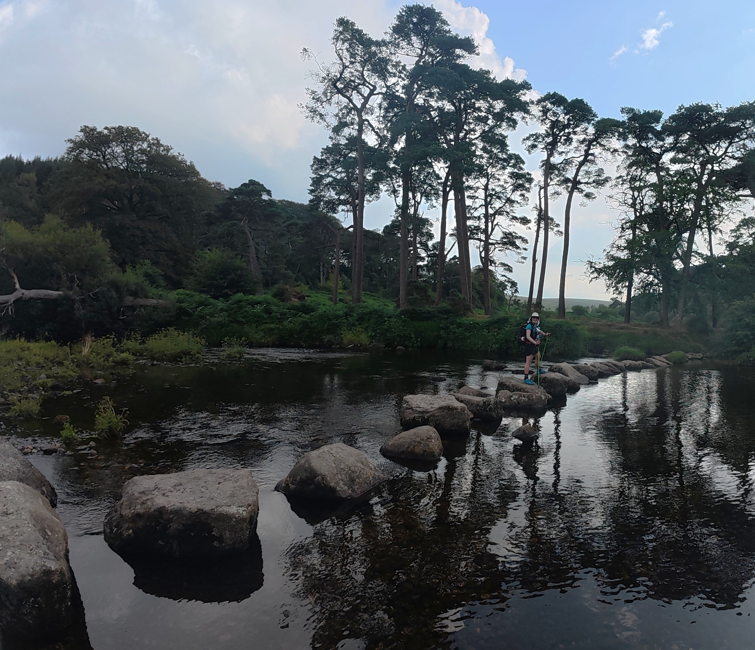
We set off on the bikes, avoiding a road of uncertain right-of-way status and going round on the bridleways. This lead us back to the route we’d come in by on foot, and was some proper mountain biking. I was loving it, Dave was worried whether his bike could take it.
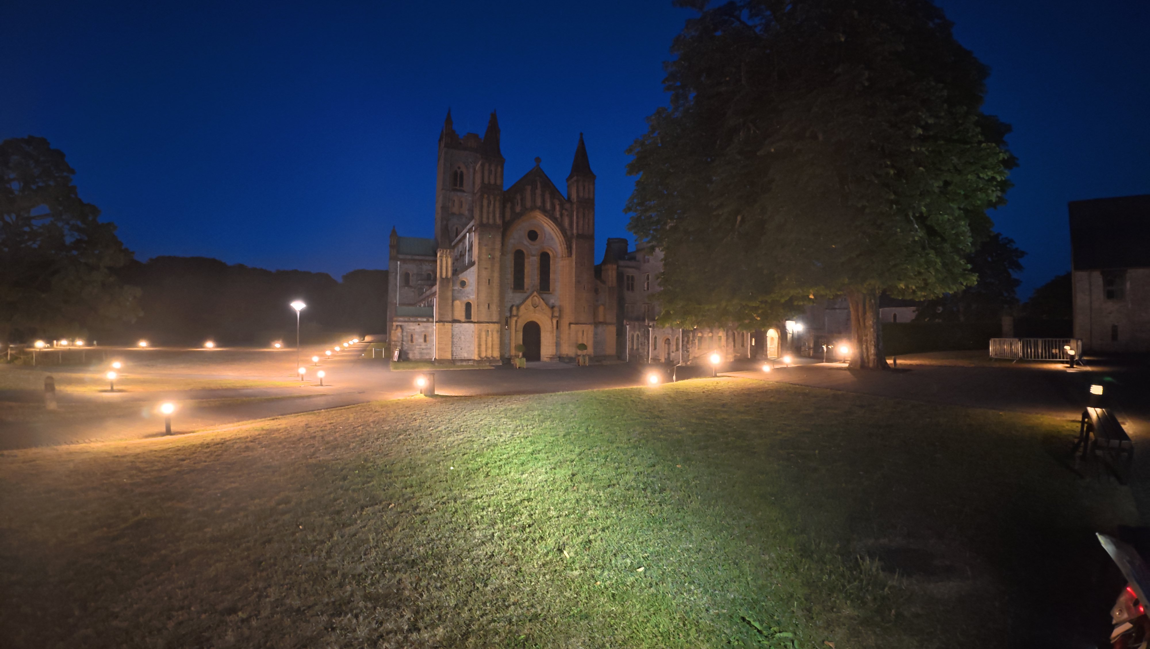
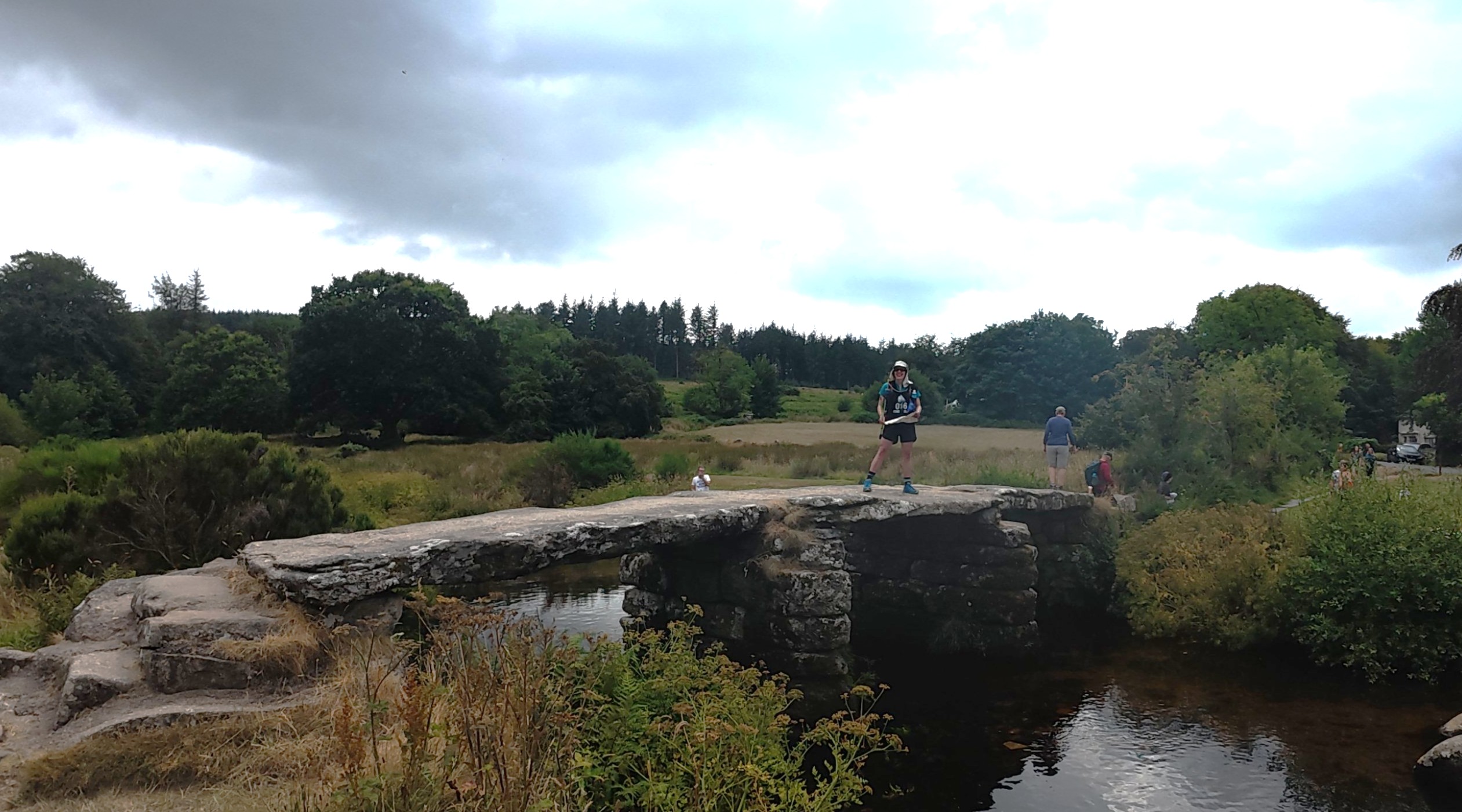
The tracks led to some moorland roads past a reservoir, a quick chat with a chap out with his binoculars, and on via small villages to Buckfast Abbey. Buckfast is a famous drink in Scotland, so much so that I was convinced it was made here. Apparently not, and the history of how a drink from Devon came to be so popular in Scotland is another story!
A short while later we got to the caving, comfortably inside the original time window, and a relief as we really didn’t want to miss this special stage.
Caving 1h39m
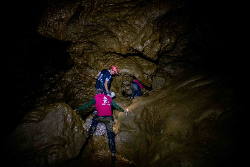
The caving itself was another one of my favourite stages. Much more than a short novelty, it felt worthwhile waiting for. We were provided helmets (much needed as I did clunk my head a few times) but the light on mine went flat, so I was trying to find my way round with a headtorch in my hand.
The rocks were so smooth but also covered in a sort of greasy yellow mud. The cave itself was a contortion of different passageways and chambers, with strange formations all around us. We were to try and move from glow stick to glow stick, but we definitely went down a few blind alleys on the way. At one point Dave was very determinedly ‘checking a route’ and all I could see were his feet dangling down as I tried to shout up that it was the wrong way. “It’s harder to come back than it was to come up” he replied!
Fortunately, we both made it out in one piece and although we weren’t the fastest through, we definitely made the most of the experience.
Bike with the bats to Totnes 1h28m / 14.2km + TA 43m
Emerging from the cave and back onto our bikes, we decided that although the map wasn’t totally clear, the intention was probably that we shouldn’t take the A road at all. I think the field was somewhat divided in their decision on this. For us, it meant a detour up a hill and down some byways. Although far from the quickest route, it was at least interesting riding.
As we whizzed down another tiny lane with high hedgerows, I could see bats flying towards me and swooping up and away at the last moment. I called out to ask Dave if he’d seen them too. His answer: ‘I have seen everything flying at me!’ Me: ‘Well, the bats are the one thing that are real!’.
Terrifying & exhilarating kayak down the river Dart 15.1km / 2h11m + TA & boat trip 1h45m
It didn’t take too long to get to the start of the kayak in Totnes. After our slight delay queuing at the cave and not-very-fast ride to the TA we did arrive a little later than we might have liked. We got there some time after the tide had turned. It was still falling (i.e. going in the right direction), but the flow would start dropping and the lower it was, the more exposed the mud banks would be.
We had been warned that if we hit the mud we would have to sit and wait for the tide to come back up, and under NO CIRCUMSTANCE should we get out of our boats, else we would be stuck in the mud and need a rescue.
The combination of this and our anxiety to get through before we had to paddle against the tide was upping the stress levels significantly. One marshal in particular was also repeatedly urging us on and emphasising the importance of getting onto the water ASAP.
Once in and agreed on the correct direction, we immediately faced challenges that required rapid adaptation as we were moving downstream at quite some speed. The plan: use the map, count the bends, stay on the correct sides to avoid the mud. The reality: near zero visibility in the dark, mysterious mists rising and swirling off the water both obscuring the banks and reflecting our torchlight, and any map checking causing the kayak to veer wildly.
We came up with a plan whereby Dave at the front would scan from side to side to check if we were moving towards one bank or the other. Whilst I at the back had to trust him 100% and follow instructions to steer us left or right. Our aim was to stay as close to the middle as we could, and I kept an eye on the compass now and then to make sure we were going in the right general direction.
At least twice our paddles struck the bottom, one of those when a bank of mist turned out to be a bank of mud requiring sharp avoidance. At one point a team came past us going the other way – when we asked what they were doing it transpired they were so confused they had got totally turned around. We discovered later that more than one other team had found themselves heading up tributaries instead of staying in the main channel.
Eventually we came out into a wide-open space where the river was a bit slower and we had time to take a breath. Finally, I could place us on the map, but just then Dave insisted we must be in a dead-end bay, because the boats that had been appearing at the banks were now all around us. I managed to convince him to just keep going so we could ‘check’ and sure enough we got right through.
In the end, the exit was obvious and we got there just as dawn was breaking.
We had worried that we might fall asleep whilst paddling down the river at this point in the event and at night, but instead nothing could have been further from it.
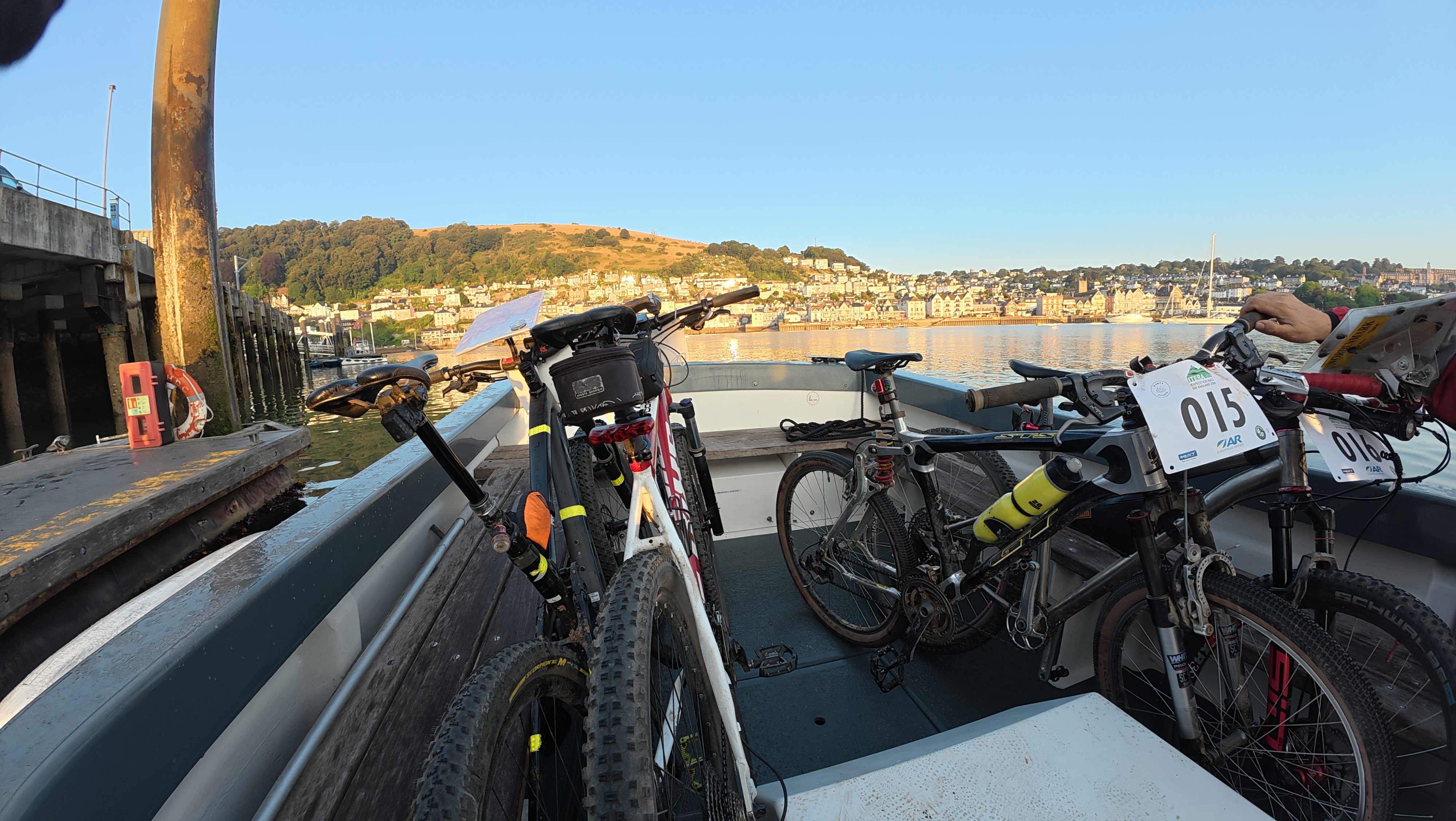
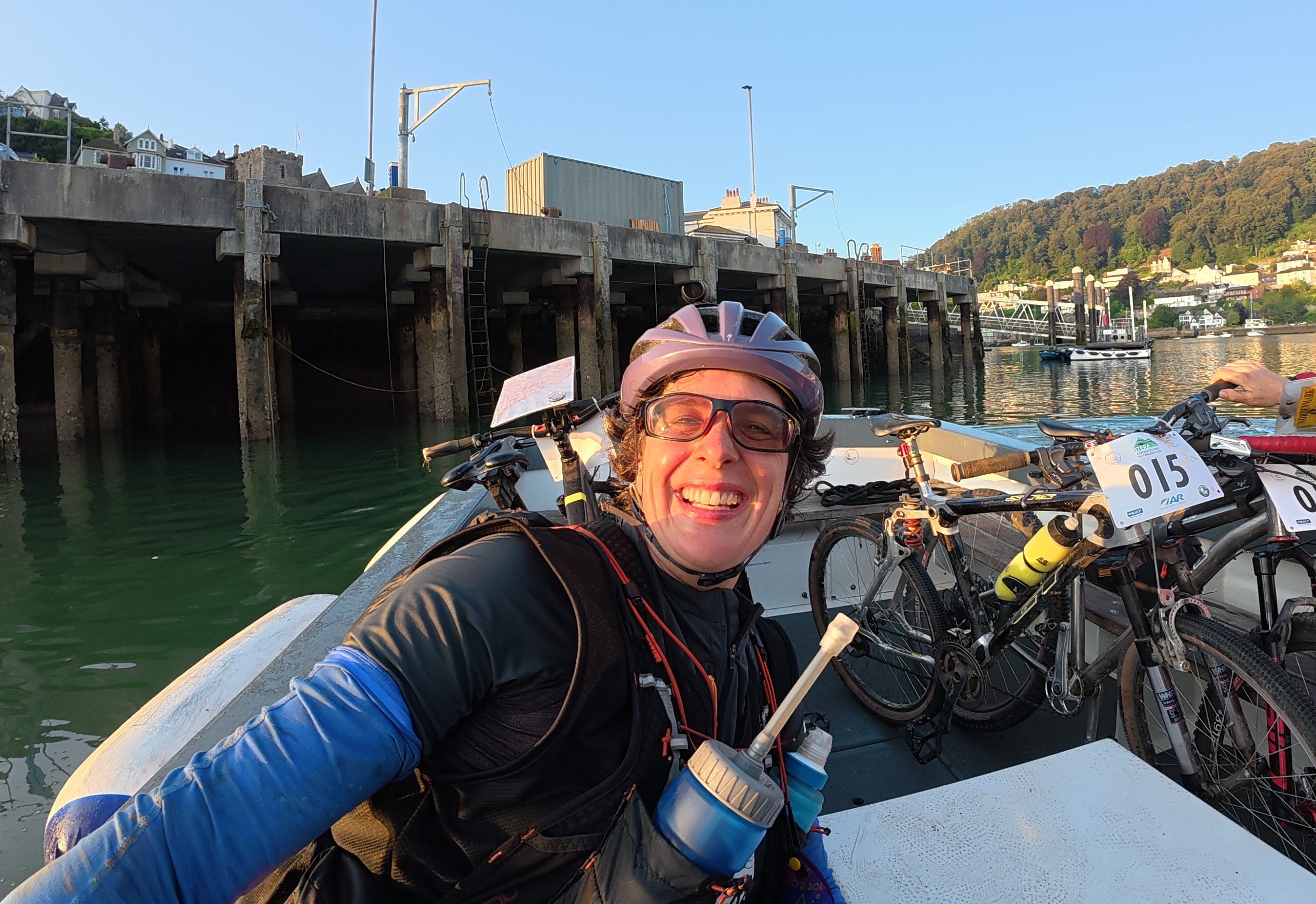
Transition was leisurely, with Dave thoroughly enjoying the 5* warm toilet facilities. As well as getting our kayaks to the drop off point, there was a free boat trip across the mouth of the estuary to get ourselves and our bikes over to the other side. I enjoyed a chat with another Dave as we shared the journey!
Bike leg that felt like 50:50 walking, with emergency sleep and breakfast 33.2km / 4h59m + TA 1h1m
We had a hesitant start getting out of the little town, with locals instructing us where to go. As we laboured up a hill, quickly getting off to push, I was seriously doubting my map reading abilities. Why was it taking so long? Were we really on the right road? Suddenly, the adrenaline seemed to wear off at exactly the same time, as we both agreed to find somewhere to sleep ASAP.
Unfortunately, we were just riding on roads all the way to the transition, and they were narrow with high hedges and gates leading into farmers’ fields. Eventually we found one that had neither crops nor grazing animals, lifted our bikes in and out of sight and lay down in broad daylight and a brightening sun for an emergency 20 min sleep.
Waking up, everything made much more sense on the map. Dave requested that we ‘find somewhere for food’ shortly. Peering down, all I could suggest was one place big enough for both a church and a pub – but no promise of food.
We passed through, spotted a ‘community shop’, went for the control and came straight back. What a lovely place, run by the local community, super friendly service and a little table and chairs outside. My breakfast consisted of a pastry, rhubarb soda, crisps and a rum and raisin ice cream. Sitting down on the cushion of the chair felt like the height of luxury.
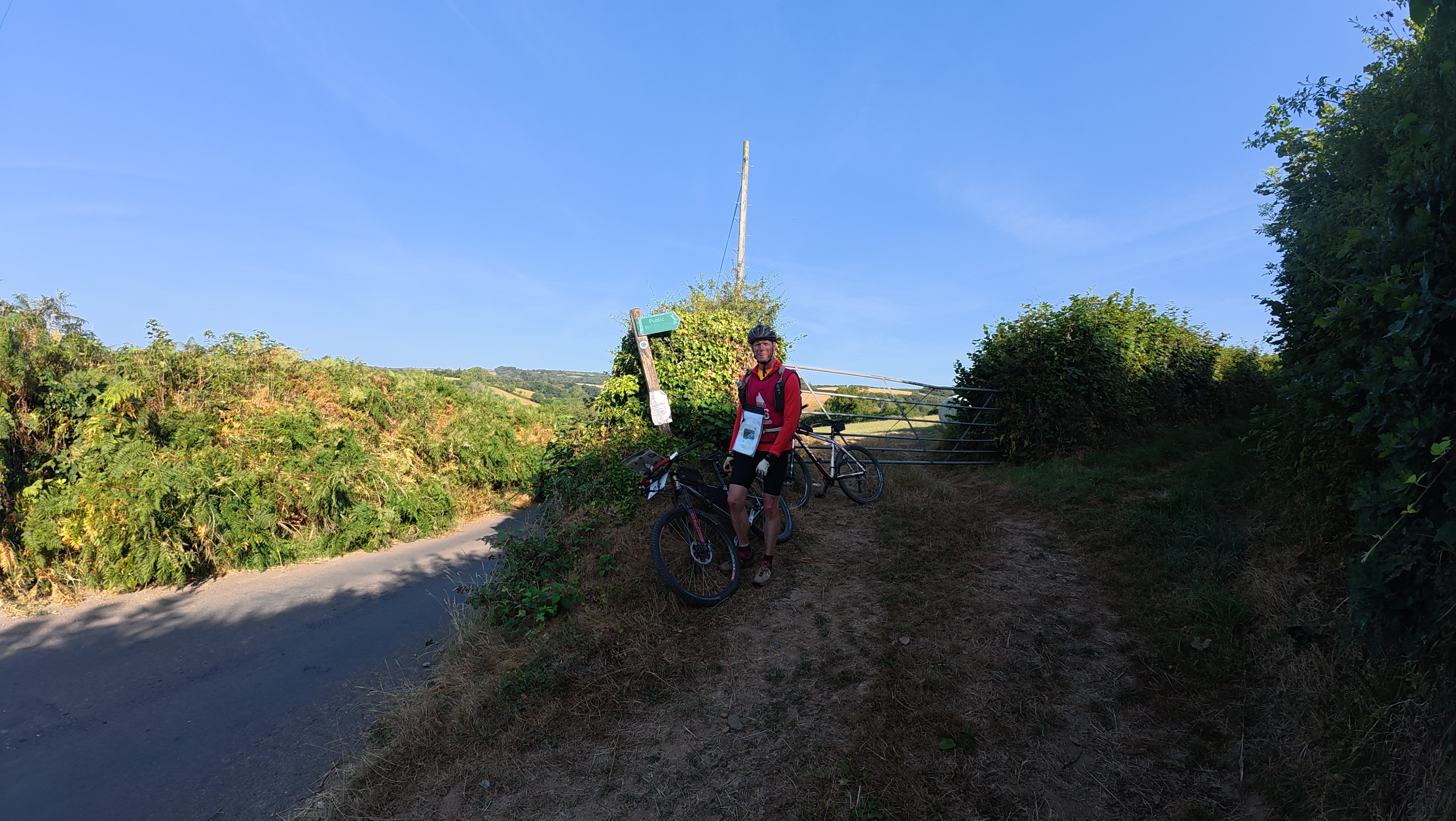
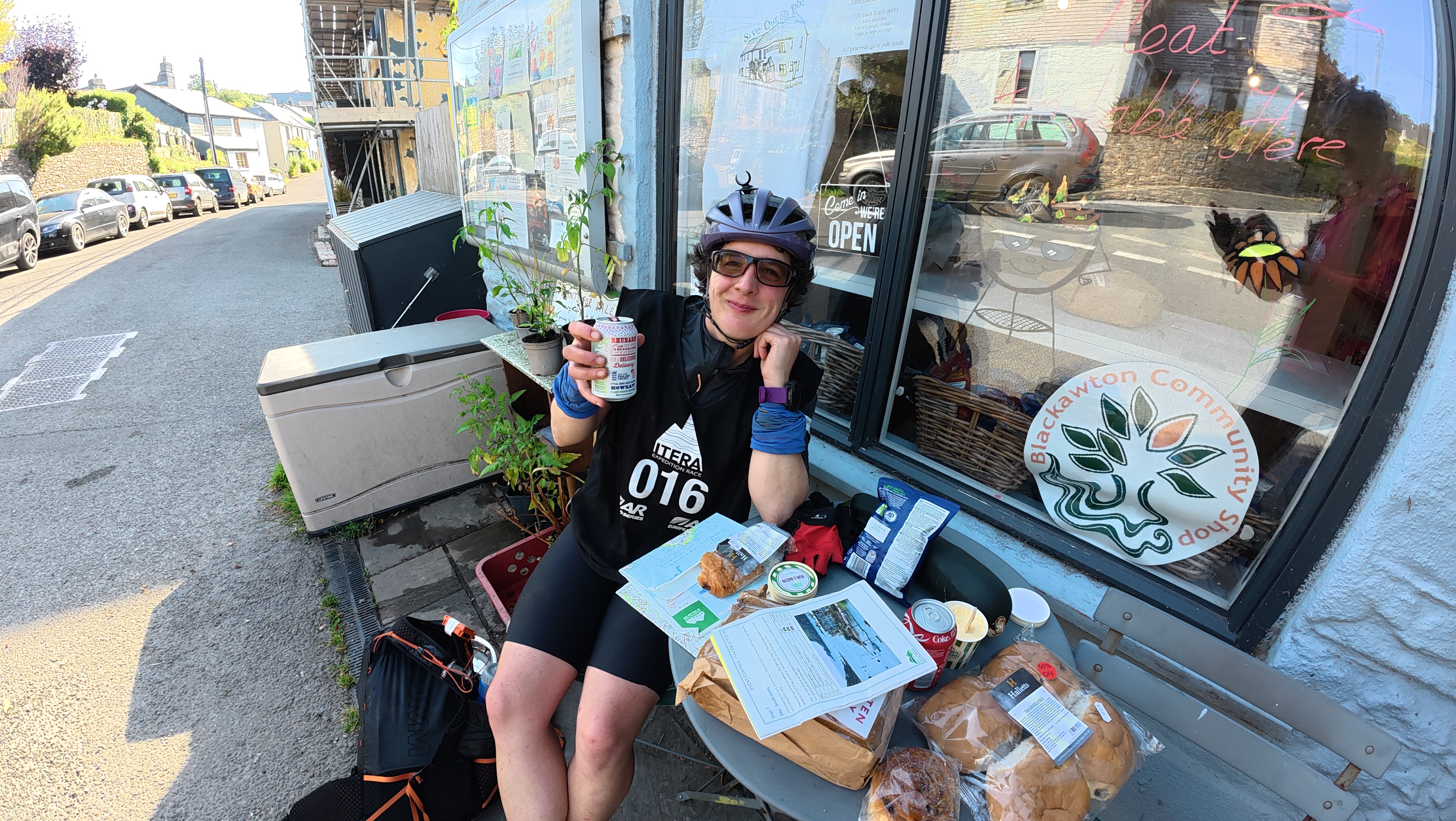
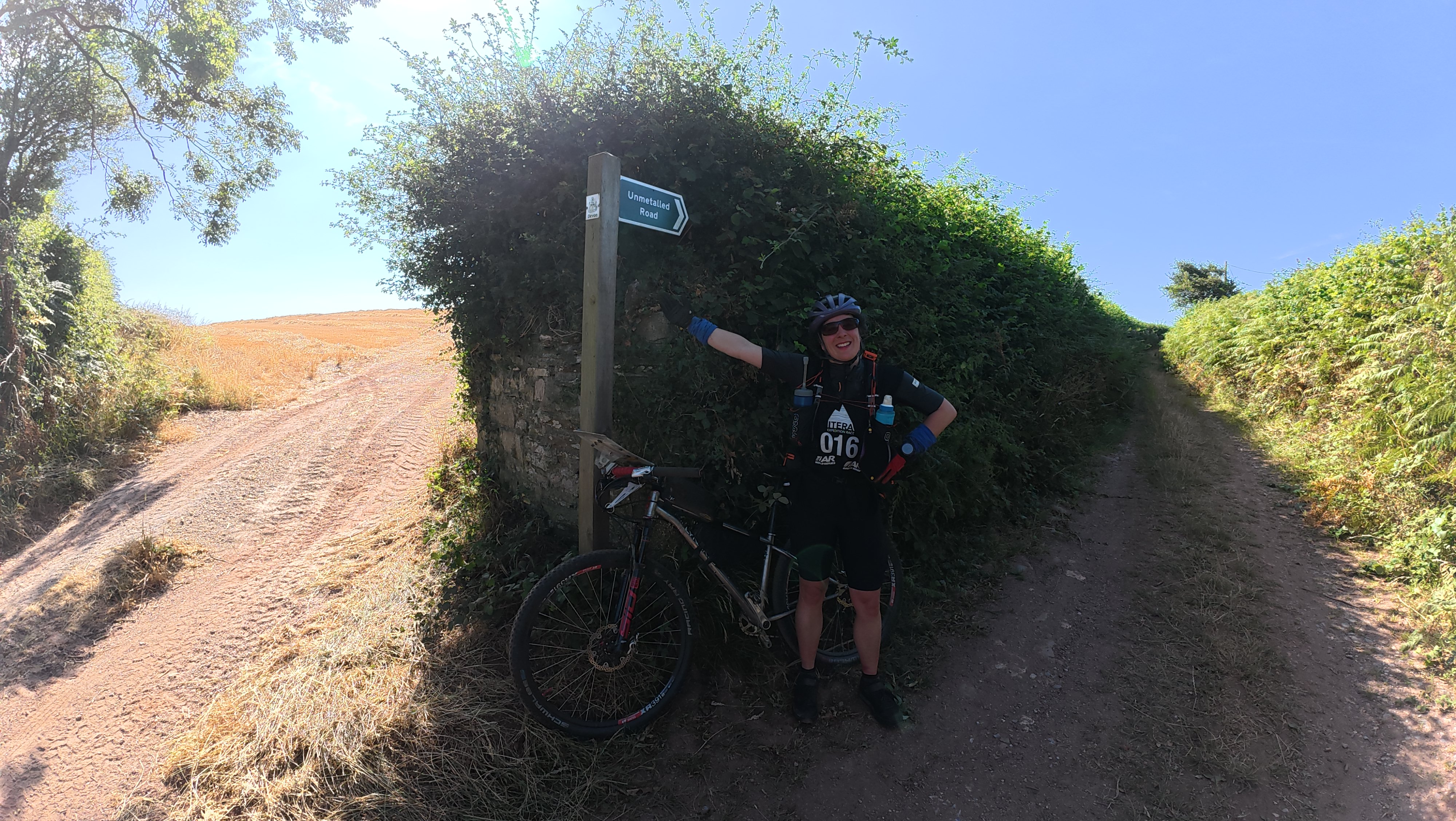
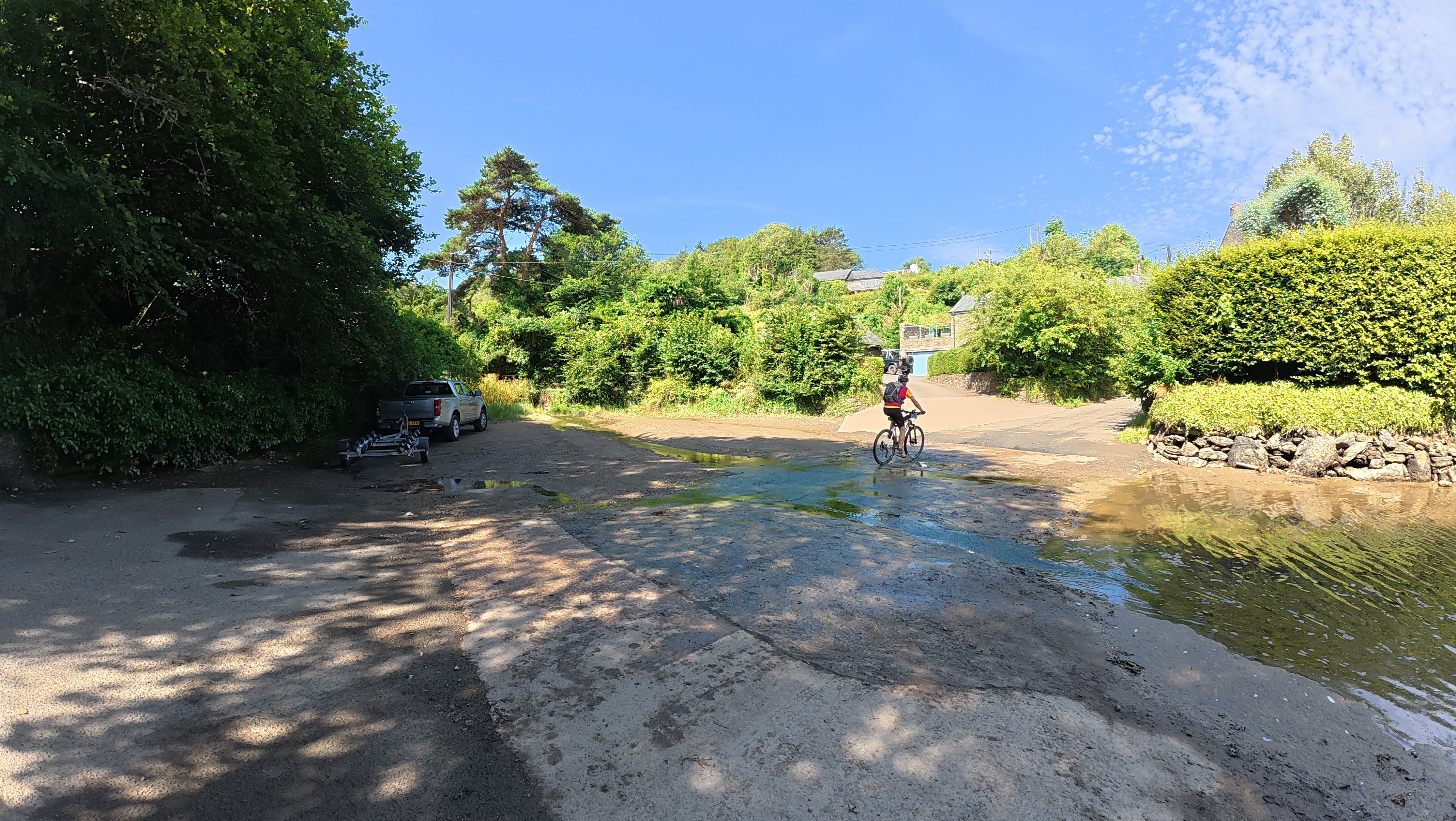
The combination of sleep and food was magical, and we were much revived en route to the next transition. This whole leg was basically push up a steep road, fly down the other side, find a fingerpost, repeat.
The transition was split, but despite this it was one of our fastest! We thought about getting an expensive treat at the café, but they refused to serve us at the counter, so we just kept moving on.
Not-a-coastal-trek 14.4km / 3h19m
The final trek should have been along the coastal path with views from the point out to sea. However, we were didn’t have time to do this and had come up with a short cut whilst eating breakfast. This was probably nothing like what was intended, but having ridden / walked the lanes to get here, and still being determined to do a bit of every stage, it was our only option.
I worked very hard to make our cross-country trip over to the coast as pleasant as possible. We enjoyed the shade when we got some and took in byways with verdant undergrowth and an amazing array of insects and butterflies.
Eventually we got to the sea, where it should have been simple to follow the path back to the event centre. Unfortunately, at one point we followed the signs, which were taking us high up the cliff with no immediate sign of continuing the way we wanted. I’d thought it was just the ‘high tide’ option, so we went back down to go round the beach. Only to find it was impassable and that we had, indeed, been going the right way. I always like to do at least one unnecessary out and back hill rep per event, and this was our second!
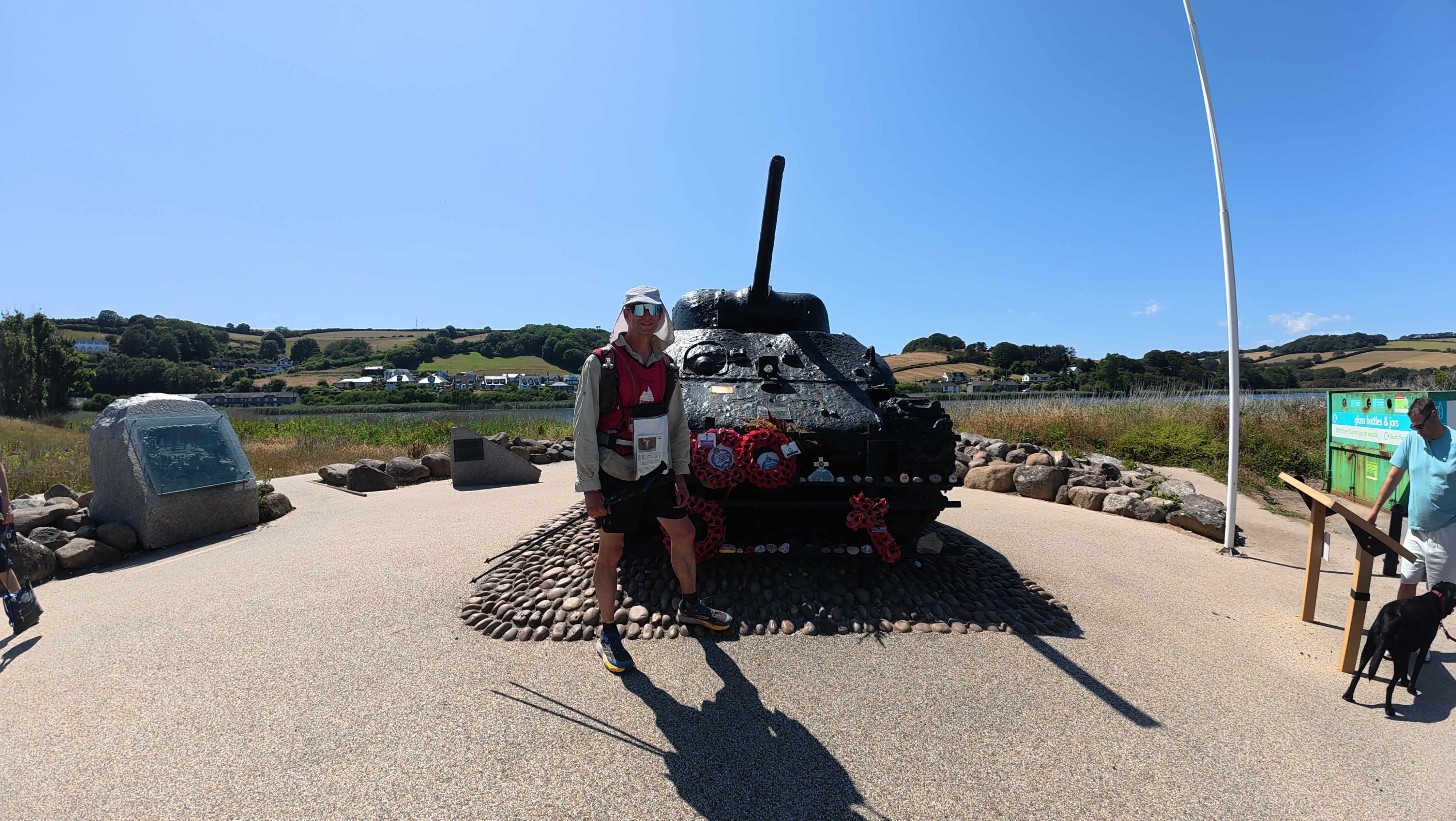
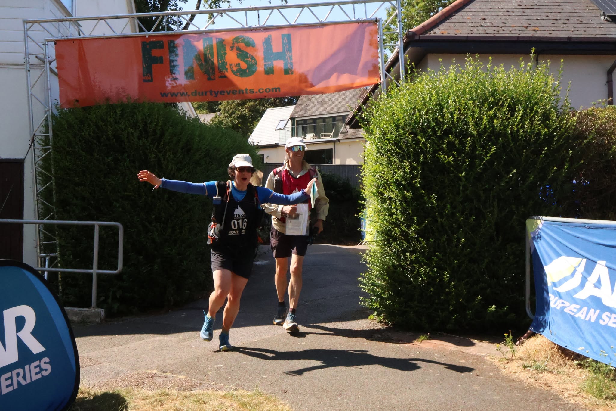
Final checkpoint collected, we just had the long straight and hill climb to go, arriving at the event centre at a perfectly reasonable time and well within the bunch of arrivals.
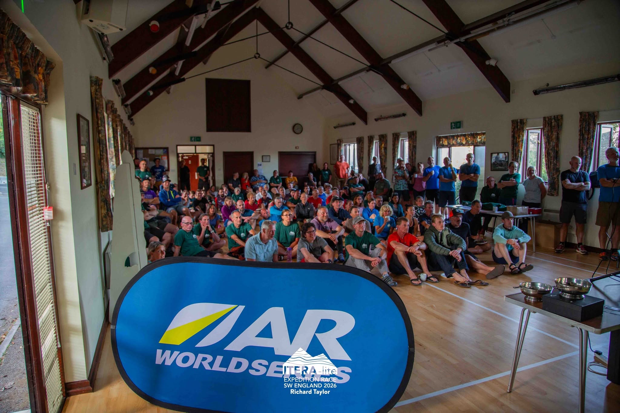
We finished 4th pair and firmly mid pack overall, having had a very different adventure from our one in Scotland, but with some equally memorable moments.
Postscript
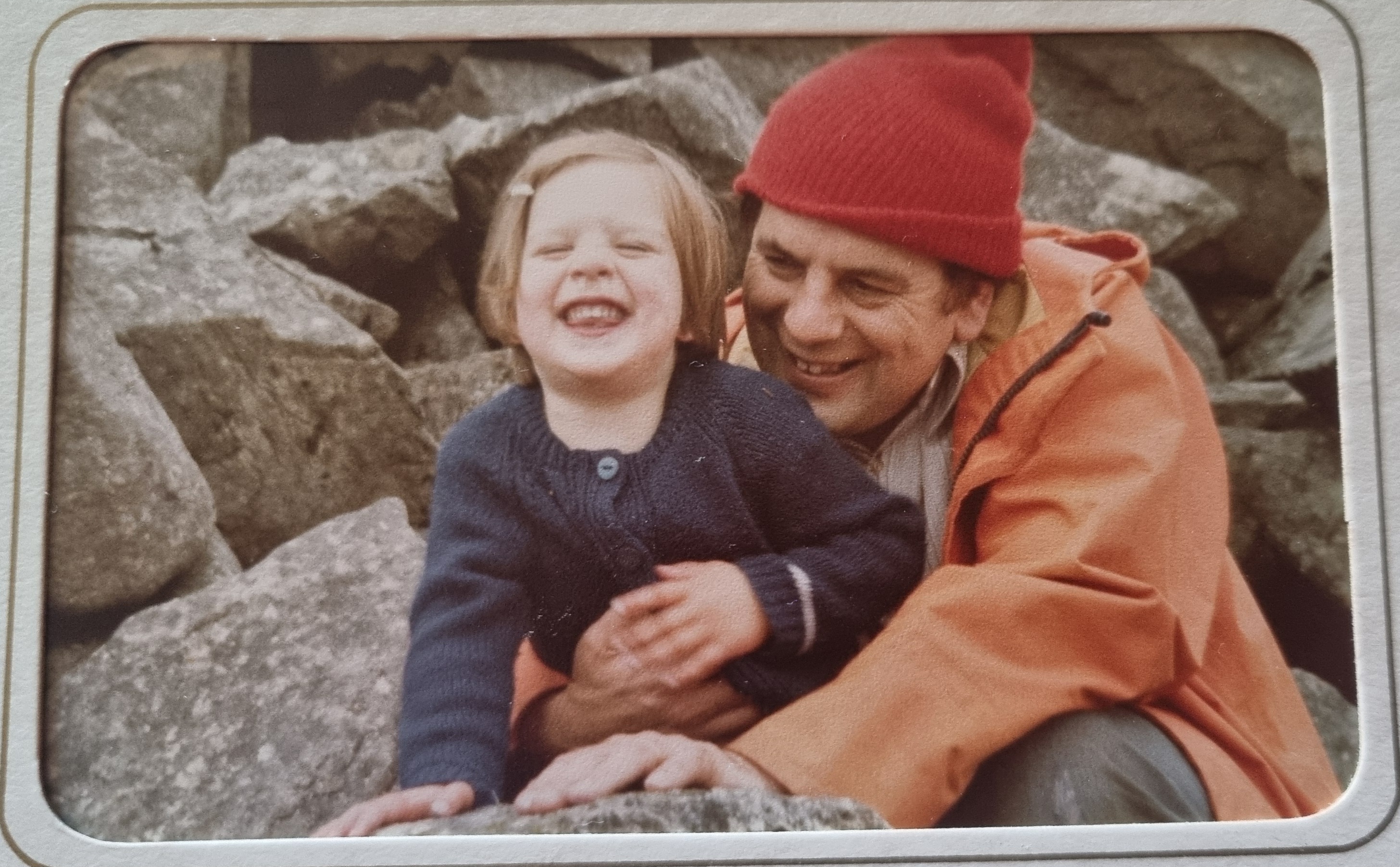
My report has been somewhat delayed as the events of life have got in the way, as they so often do. My dad had been unwell in hospital for a few months, though he still enjoyed keeping up with my travels and adventures. He sadly passed away at the start of September, and I’m sorry I did not get this written up in time for him to read. I thought I’d share one of my favourite photos of us together from my childhood. This is somewhere up a mountain in Eryri / Snowdonia (probably Elidir or Glyder) – a bit rockier than Devon, but possibly where a love of the hills was sown, albeit I don’t think I fully appreciated it at the time!
Posted on 18/10/2026, in Adventure Racing, Race Reports and tagged adventure racing, Devon, Itera, kayaking, Mountain biking, off-road, race, run. Bookmark the permalink. Leave a comment.


Leave a comment
Comments 0